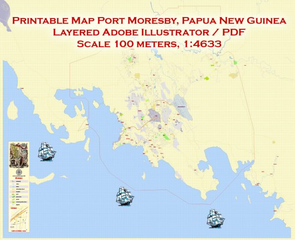
Port Moresby, the capital and largest city of Papua New Guinea, is a significant hub for both maritime and air transportation in the country.
Maritime Transportation:
- Port Facilities: Port Moresby has a major seaport known as the Port of Port Moresby. The port is crucial for the import and export of goods and plays a vital role in the country’s economy.
- Cargo Handling: The port handles various types of cargo, including containers, bulk cargo, and general cargo. It serves as a gateway for imports and exports, connecting Papua New Guinea to the global maritime trade network.
- Shipping Services: International shipping lines and local maritime companies operate services from Port Moresby to other ports in Papua New Guinea and around the world.
- Fishing Industry: Given the country’s extensive coastline and rich marine resources, fishing is an important economic activity, and Port Moresby likely plays a role in supporting the fishing industry through its port facilities.
Air Transportation:
- Jacksons International Airport: The main international gateway to Papua New Guinea is Jacksons International Airport, located in Port Moresby. The airport has both international and domestic terminals.
- International Flights: Jacksons International Airport handles flights to and from various international destinations. Airlines operating from the airport connect Papua New Guinea to major cities in Australia, Asia, and the Pacific region.
- Domestic Flights: The airport is a hub for domestic flights, connecting Port Moresby to other cities and towns within Papua New Guinea. Domestic carriers operate scheduled services to destinations across the country.
- Airline Services: Airlines such as Air Niugini, the national carrier, and other regional carriers operate services from Port Moresby, providing both passenger and cargo transportation.
- Cargo Handling: The airport facilitates the transportation of cargo, including perishable goods and other commodities, both domestically and internationally.
It’s important to verify the current status and any updates regarding transportation infrastructure in Port Moresby.


 Author: Kirill Shrayber, Ph.D. FRGS