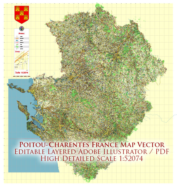
Poitou-Charentes was an administrative region in southwestern France. However, it’s worth noting that administrative divisions in France have undergone changes, and as of 2016, Poitou-Charentes is part of the larger administrative region of Nouvelle-Aquitaine. Some of the main cities and towns that were historically part of Poitou-Charentes:
- Poitiers:
- Poitiers is the historical capital of the region and is known for its rich history and architecture.
- It houses several historical landmarks, including the Notre-Dame la Grande church, Palais des Comtes de Poitou, and the Futuroscope theme park.
- La Rochelle:
- La Rochelle is a coastal city known for its picturesque old port and historic architecture.
- The Old Port features medieval towers and arcades, and the city is known for its maritime heritage.
- The Aquarium La Rochelle is a popular attraction, showcasing marine life from the Atlantic Ocean.
- Angoulême:
- Angoulême is known for its historic center surrounded by ramparts and is perched on a rocky hill overlooking the Charente River.
- The city is famous for the annual International Comics Festival, making it a hub for comic book enthusiasts.
- Niort:
- Niort is situated on the Sèvre Niortaise River and is known for its medieval architecture.
- The city features a Donjon, a medieval fortress, and the Pilori, a historical building in the town square.
- Cognac:
- Cognac is renowned worldwide for its production of the eponymous brandy.
- The town is home to several distilleries, including some of the most prestigious Cognac houses.
- Rochefort:
- Rochefort is known for its naval history and maritime heritage.
- The Corderie Royale, a former royal rope-making factory, is now a maritime museum that provides insights into the town’s naval past.
- Saintes:
- Saintes is known for its Roman heritage, including the Arch of Germanicus and the amphitheater.
- The Saint-Pierre Cathedral and the Saint-Eutrope Basilica are notable religious landmarks.
These descriptions provide a snapshot of some of the historically significant cities and towns in the Poitou-Charentes region. Keep in mind that administrative changes may have occurred since my last update, so it’s advisable to check for the latest information.


 Author: Kirill Shrayber, Ph.D. FRGS