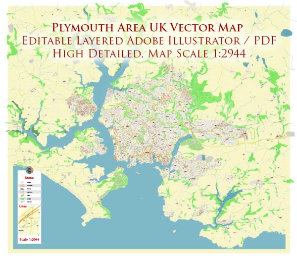
General overview based on common features of such regions.
Maritime Transportation:
- Port Facilities: Plymouth has a historically significant port, and while not as busy as larger ports in the UK, it plays a role in both commercial and leisure maritime activities.
- Ferry Services: Plymouth is known for its ferry services connecting the UK to France and Spain. The ferry terminal is an important hub for passenger and cargo transportation.
- Marinas and Harbors: There are likely marinas and harbors catering to both local boat owners and visitors. These areas contribute to the maritime culture and may offer services and amenities.
- Naval Presence: Plymouth has a strong naval history, and there may be naval facilities in the area. This might include the Royal Navy’s Devonport Naval Base.
Air Transportation:
- Airport: Plymouth does not have a major international airport. Most air travel is facilitated through nearby airports such as Exeter Airport or Newquay Airport.
- General Aviation: There might be facilities for general aviation, including small private airports or airstrips supporting recreational flying and smaller aircraft.
- Helicopter Services: Helicopter services, possibly related to offshore activities or transportation to remote locations, may be present.
Transportation Infrastructure:
- Road and Rail Connections: Plymouth is well-connected by road and rail, facilitating transportation to and from the town. This connectivity is crucial for the movement of goods and passengers.
- Public Transportation: Public transportation services, such as buses and local trains, likely serve the Plymouth area, connecting the town to nearby regions.
- Transportation Hubs: Plymouth may have transportation hubs or interchanges where different modes of transportation converge, facilitating seamless travel.
It’s important to note that developments may have occurred since my last update, and I recommend checking with local authorities, transportation agencies, or official websites for the latest information on maritime and air transportation in the Plymouth area.


 Author: Kirill Shrayber, Ph.D. FRGS