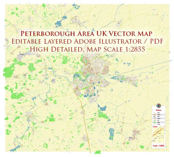
Some general information about urban amenities in the Peterborough area in the UK.
1. Transportation:
- Rail Services: Peterborough is a major railway hub, providing good connectivity to various parts of the country. The Peterborough railway station is a key transportation hub.
- Road Network: The city is well-connected by road, with the A1(M) motorway passing nearby, providing links to London and the North.
2. Shopping and Entertainment:
- Shopping Centers: The city has several shopping centers, including Queensgate Shopping Centre, which houses a variety of retail stores.
- Cinemas and Theatres: There are cinemas and theaters in Peterborough offering entertainment options.
3. Parks and Recreation:
- Central Park: A large public park in the heart of the city offering green spaces, walking paths, and recreational facilities.
- Nene Park: Located nearby, Nene Park is a large park with lakes, woodlands, and recreational activities.
4. Education:
- Schools and Colleges: Peterborough has a range of primary and secondary schools, as well as colleges providing further education.
- University Centre Peterborough: The city is home to the University Centre Peterborough, offering higher education opportunities.
5. Healthcare:
- Hospitals and Medical Facilities: Peterborough has hospitals and medical facilities providing healthcare services to residents.
6. Cultural and Historical Sites:
- Peterborough Cathedral: A historic cathedral with impressive architecture and cultural significance.
- Flag Fen Archaeology Park: An archaeological site showcasing ancient history and artifacts.
7. Sports and Recreation:
- Peterborough United Football Club: The city has a professional football club, Peterborough United, which competes in the English Football League.
- Sports Facilities: There are sports centers and facilities for various recreational activities.
8. Restaurants and Cafes:
- Dining Options: Peterborough offers a variety of dining options, including restaurants, cafes, and pubs serving diverse cuisines.
9. Community Services:
- Libraries and Community Centers: The city has libraries and community centers providing resources and spaces for community activities.
10. Events and Festivals:
- Peterborough Festival: The city hosts various events and festivals throughout the year, promoting cultural and community engagement.
Remember to verify this information with up-to-date sources, as the status of amenities and services can change. Local government websites, community portals, and recent news articles can provide the latest information about urban amenities in the Peterborough area.


 Author: Kirill Shrayber, Ph.D.