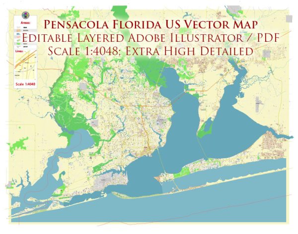
General overview of maritime and air transportation in Pensacola, Florida, USA.
Maritime Transportation:
- Port of Pensacola: The Port of Pensacola is a deep-water port situated on Pensacola Bay. It is a full-service port that handles a variety of cargoes, including bulk, breakbulk, and containerized cargo. The port serves as a vital hub for trade and commerce in the region.
- Naval Air Station Pensacola: While primarily a military installation, Naval Air Station (NAS) Pensacola is significant for maritime and air operations. It houses the National Naval Aviation Museum and plays a crucial role in naval aviation training.
- Recreational Boating: Pensacola is known for its coastal location and is popular for recreational boating and water activities. The region has marinas and facilities that support boaters and tourists exploring the Gulf of Mexico.
Air Transportation:
- Pensacola International Airport (PNS): Pensacola International Airport serves as the primary airport for the region. It provides domestic flights and connects Pensacola to major cities across the United States. The airport facilitates both commercial and cargo flights.
- Military Aviation: In addition to civilian aviation, Pensacola has a strong military aviation presence, particularly at NAS Pensacola. This base is a major training site for the United States Navy, Marine Corps, and Coast Guard aviators.
- General Aviation: The region has several general aviation facilities and airports that cater to private and recreational pilots. These facilities support activities such as flight training, private aircraft operations, and charter services.
For the most current and specific details, it is recommended to check with local authorities, the Port of Pensacola, Pensacola International Airport, or other relevant agencies in the Pensacola area.


 Author: Kirill Shrayber, Ph.D. FRGS