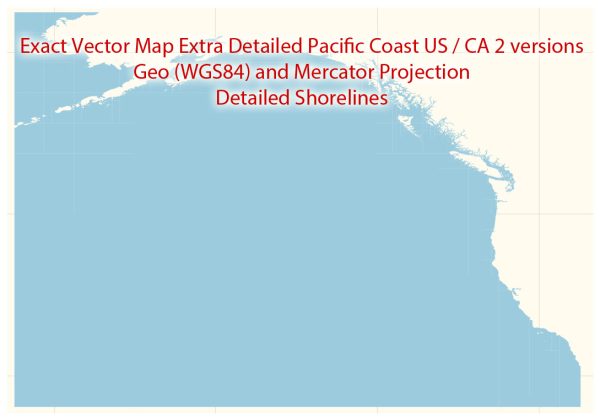
The Pacific Coast of the United States and Canada is home to several major seaports and airports, playing a crucial role in facilitating trade, transportation, and economic activities. Here are descriptions of some of the main seaports and airports in the region:
Seaports:
- Port of Los Angeles (California, USA):
- As the largest container port in the United States, the Port of Los Angeles is a major gateway for trade with the Pacific Rim.
- It handles a diverse range of cargo, including automobiles, electronics, and consumer goods.
- The port is a key player in the global logistics network.
- Port of Long Beach (California, USA):
- Adjacent to the Port of Los Angeles, the Port of Long Beach is the second-busiest container port in the United States.
- It handles a significant portion of the nation’s trade, particularly with Asia.
- Port of Vancouver (British Columbia, Canada):
- The largest and most diversified port in Canada, the Port of Vancouver is a major gateway for trade between Canada and international markets.
- It handles a wide range of cargo, including forestry products, grain, and bulk commodities.
- Port of Seattle (Washington, USA):
- Situated in the Puget Sound, the Port of Seattle is a vital seaport serving the Pacific Northwest.
- It is a gateway for trade with Asia and also supports the region’s aerospace industry.
- Port of Tacoma (Washington, USA):
- Adjacent to the Port of Seattle, the Port of Tacoma is another significant container port in the Pacific Northwest.
- It handles containerized cargo, bulk cargo, and industrial equipment.
Airports:
- Los Angeles International Airport (California, USA):
- As one of the busiest airports in the world, LAX serves as a major gateway for international travel and cargo shipments.
- It is a hub for several major airlines and handles a diverse range of flights.
- San Francisco International Airport (California, USA):
- Serving the San Francisco Bay Area, SFO is a major international airport with connections to Asia, Europe, and other regions.
- It is a hub for both domestic and international flights.
- Seattle-Tacoma International Airport (Washington, USA):
- Located in the Pacific Northwest, SEA is a major airport with connections to domestic and international destinations.
- It serves as a hub for Alaska Airlines and is a focus city for Delta Air Lines.
- Vancouver International Airport (British Columbia, Canada):
- YVR is the second-busiest airport in Canada and serves as a major gateway to the Asia-Pacific region.
- It handles a mix of domestic, transborder, and international flights.
These seaports and airports play a crucial role in facilitating trade, tourism, and economic activities on the Pacific Coast of the United States and Canada, contributing significantly to the region’s economic development.


 Author: Kirill Shrayber, Ph.D. FRGS