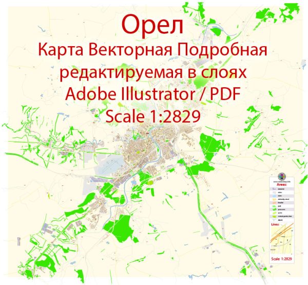
Orel is the administrative center of Oryol Oblast, located in western Russia. Here are some aspects you might expect in terms of industrial and urban amenities:
- Industrial Base:
- Orel likely has a mix of industries, including manufacturing, agriculture, and possibly some technological sectors.
- Industrial zones and parks may be present, hosting factories and production facilities.
- Infrastructure:
- The city is likely to have a well-developed infrastructure, including roads, public transportation, and utilities.
- Modern amenities such as shopping centers, markets, and commercial areas are common in urban centers.
- Educational Facilities:
- Orel may have educational institutions, including schools, universities, and research centers.
- Healthcare Facilities:
- Hospitals, clinics, and healthcare facilities are essential components of any urban area.
- Cultural and Recreational Spaces:
- Parks, theaters, museums, and other cultural institutions contribute to the city’s social life.
- Sporting facilities and stadiums may be present for recreational activities.
- Residential Areas:
- Orel would have a mix of residential areas, including apartments, houses, and possibly suburban developments.
- Transportation:
- Public transportation, such as buses and possibly a local train network, may be available.
- Roads and highways connect the city to other regions.
- Utilities:
- Orel would have a reliable supply of utilities, including electricity, water, and sanitation services.
Remember that the specifics can vary, and for the most accurate and up-to-date information, you may want to refer to local sources, government websites, or recent news articles about Orel, Russia.


 Author: Kirill Shrayber, Ph.D. FRGS