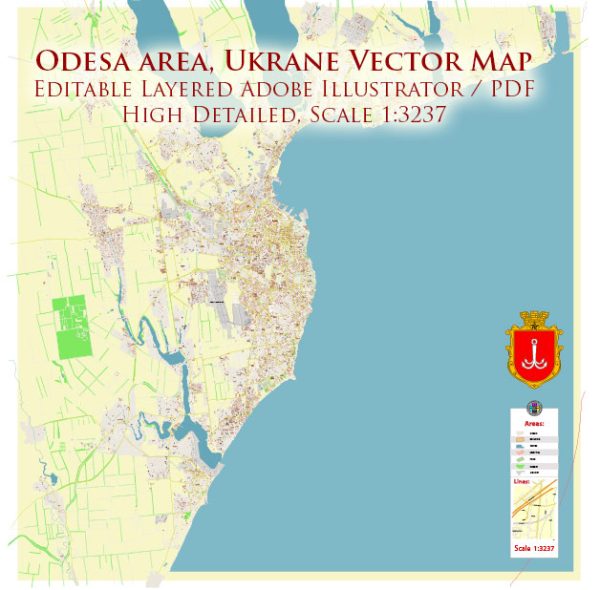
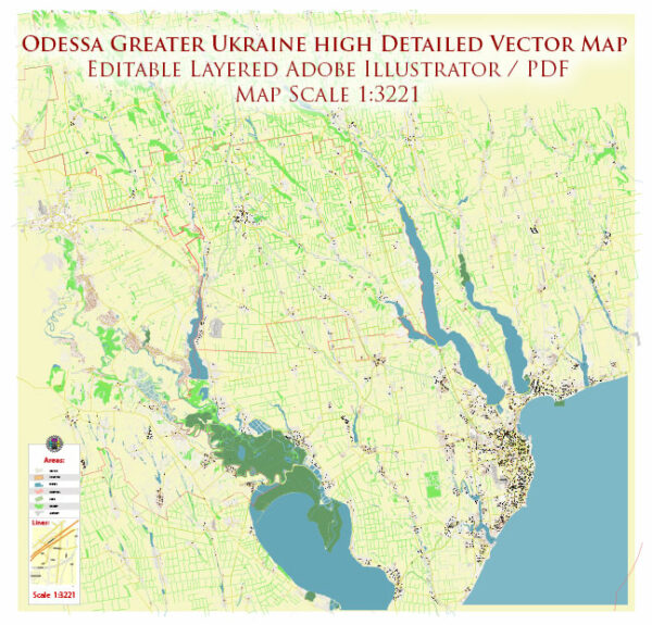
General description of maritime and air transportation in Odesa, Ukraine.
Maritime Transportation:
Odesa is a major port city and the largest seaport in Ukraine, located on the Black Sea. The port plays a crucial role in the country’s international trade and commerce. Here are some key points about maritime transportation in Odesa:
- Odesa Seaport: Odesa Seaport is a significant hub for both passenger and cargo shipping. It handles various types of cargo, including containers, bulk cargo, and general cargo.
- Cargo Handling Facilities: The port is equipped with modern cargo handling facilities, including container terminals, warehouses, and specialized terminals for different types of cargo.
- Ferry Services: Odesa has ferry connections to various Black Sea ports and countries, facilitating the transport of goods and passengers. Ferry services may connect Odesa with ports in Turkey, Bulgaria, and other neighboring countries.
- Cruise Terminal: Odesa has a cruise terminal that serves as a point of arrival and departure for cruise ships in the Black Sea region. Cruise tourism is an essential part of Odesa’s maritime activities.
Air Transportation:
Odesa is served by an international airport that connects the city with domestic and international destinations. Here are some details about air transportation in Odesa:
- Odesa International Airport (ODS): Odesa International Airport is the primary airport serving the city. It offers both domestic and international flights. The airport has a modern terminal with facilities for passengers.
- Domestic and International Flights: Odesa International Airport provides connections to major cities within Ukraine, such as Kyiv and Lviv, as well as international destinations in Europe and beyond. Airlines operating at the airport may change, so it’s advisable to check the latest information.
- Cargo Handling: While the primary focus of Odesa International Airport is passenger traffic, there may be some capacity for cargo transportation as well.
Please verify this information with up-to-date sources, as the status of transportation infrastructure can change over time.


 Author: Kirill Shrayber, Ph.D. FRGS