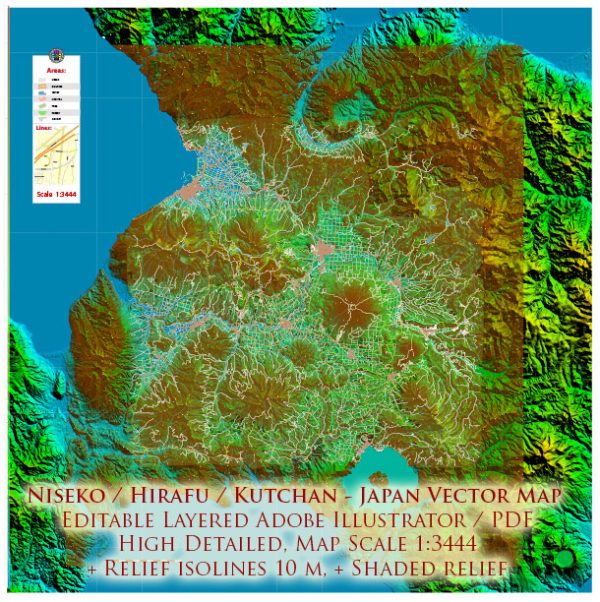
Niseko, Hirafu, and Kutchan are popular destinations in the Niseko region of Hokkaido, Japan. The transportation options available to these areas include both air and maritime travel.
Air Transportation:
- New Chitose Airport (CTS): This is the main airport serving the Hokkaido region, including Niseko. It is the largest airport in Hokkaido and is well-connected to major domestic and international destinations. From New Chitose Airport, you can take a domestic flight or use other transportation options to reach Niseko, Hirafu, or Kutchan.
- Sapporo Okadama Airport (OKD): While smaller than New Chitose Airport, Okadama Airport is another option for those traveling to the Niseko area. It’s located closer to central Sapporo and provides some domestic flights.
- Airport Transfers: Many visitors use airport shuttle services, buses, or private transfers to travel from New Chitose Airport to Niseko, Hirafu, or Kutchan. These services are convenient and offer a comfortable way to reach your destination.
Maritime Transportation:
While Niseko, Hirafu, and Kutchan are not directly on the coast, maritime transportation can be relevant for goods and supplies coming into the region. Hokkaido, in general, has several ports that facilitate the shipment of goods.
- Port of Otaru: Otaru is a major port city in Hokkaido, and it serves as a hub for maritime transportation. Goods shipped by sea might arrive at the Port of Otaru and then be transported by road to Niseko, Hirafu, or Kutchan.
- Ferry Services: While not directly serving Niseko, there are ferry services connecting Hokkaido to other parts of Japan. Visitors who enjoy maritime travel may choose to take a ferry to Hokkaido and then use ground transportation to reach Niseko.
It’s important to check the latest schedules and availability of transportation services, especially considering seasonal variations in travel options, weather conditions, and any potential changes in infrastructure. Always consult with local transportation providers or travel agencies for the most up-to-date information.


 Author: Kirill Shrayber, Ph.D.