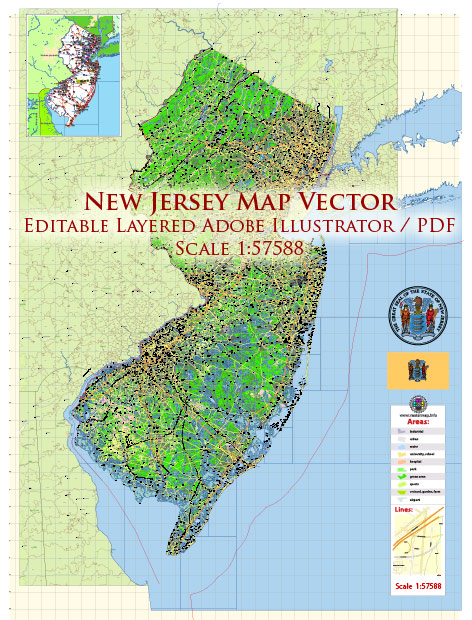
General overview of maritime and air transportation in the state of New Jersey, United States.
Maritime Transportation in New Jersey:
- Ports: New Jersey is home to several major ports, with the Port of New York and New Jersey being one of the busiest in the United States. The port complex includes facilities in Newark, Elizabeth, Bayonne, and Jersey City. It serves as a critical gateway for international trade and handles a significant portion of containerized cargo coming into the country.
- Waterways: The state has an extensive network of navigable waterways, including the Delaware River and the Atlantic Ocean coastline. These waterways support shipping and trade activities, providing access to the port facilities and enabling the movement of goods.
- Ferry Services: Ferry services operate between various points in New Jersey and neighboring states, such as New York. These services offer an alternative mode of transportation for both commuters and tourists.
Air Transportation in New Jersey:
- Airports: New Jersey has several airports, with Newark Liberty International Airport being one of the major hubs. Newark Airport is one of the busiest airports in the United States and serves as a primary gateway to the New York City metropolitan area. Other notable airports in the state include Trenton-Mercer Airport and Atlantic City International Airport.
- Air Cargo: Newark Liberty International Airport plays a crucial role in air cargo operations, serving as a major hub for transporting goods both domestically and internationally. The airport’s strategic location and extensive infrastructure contribute to its significance in the air cargo industry.
- General Aviation: There are also smaller airports and general aviation facilities throughout the state, supporting private and recreational flying.
- Aerospace Industry: New Jersey has a presence in the aerospace industry, with companies involved in manufacturing, research, and development. This sector contributes to the state’s overall economy and technological advancements.


 Author: Kirill Shrayber, Ph.D. FRGS