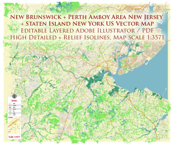
Information about the current status of water and air transportation in New Brunswick, Perth Amboy, Staten Island, and the surrounding areas in New Jersey and New York. General information about transportation options that were available in these regions.
New Brunswick, NJ:
Water Transportation:
New Brunswick is situated along the Raritan River, but it doesn’t have a major commercial port. Water transportation in the area is primarily recreational, and the Raritan River may be used for activities like kayaking and canoeing.
Air Transportation:
The nearest major airports to New Brunswick are Newark Liberty International Airport (EWR) and Trenton-Mercer Airport (TTN), both of which offer domestic and international flights.
Perth Amboy, NJ:
Water Transportation:
Perth Amboy is located along the Raritan Bay and the Arthur Kill. Historically, it has been an important port city. While it may not have the same level of commercial shipping as in the past, the waterfront area might still be used for recreational boating.
Air Transportation:
The same major airports mentioned for New Brunswick, particularly Newark Liberty International Airport, serve Perth Amboy as well.
Staten Island, NY:
Water Transportation:
Staten Island is connected to Manhattan by the Staten Island Ferry, providing a scenic and popular means of transportation for commuters and tourists. The Staten Island Ferry operates between the St. George Terminal in Staten Island and the Whitehall Terminal in Manhattan.
Air Transportation:
Staten Island doesn’t have its own commercial airport. Residents typically use Newark Liberty International Airport or other airports in the New York City area.
General Information:
- Water Transportation in the Region:
- The New York Harbor and surrounding waterways are essential for both commercial and recreational water transportation.
- Various ferry services connect different parts of New Jersey and New York, providing an alternative to land-based transportation.
- Air Transportation:
- The region is served by several major airports, including Newark Liberty International Airport (EWR), John F. Kennedy International Airport (JFK), and LaGuardia Airport (LGA).
Please check with local authorities or transportation agencies for the most up-to-date information on water and air transportation in these areas. Additionally, developments or changes may have occurred since my last update.


 Author: Kirill Shrayber, Ph.D. FRGS