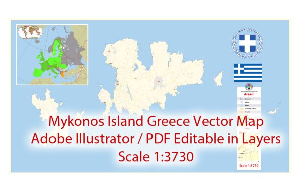
Vector Maps of the Mykonos is an island in the Cyclades group in the Aegean Sea. It’s popularly known for its summer party atmosphere. Beaches such as Paradise and Super Paradise have bars that blare thumping music. Massive dance clubs attract world-renowned DJs and typically stay open well past dawn. Iconic landmarks include a row of 16th-century windmills, which sit on a hill above Mykonos town.
Area: 85.5 km²
Download royalty free, editable vector maps of Mykonos Greece in high resolution digital PDF and Adobe Illustrator format.
Editable Map — Mykonos Greece
A production‑ready editable map of Mykonos Greece built for clear labeling and predictable output across sizes. Coordinates and scales are prepared for sheet production and consistent exports. Typography spacing is tuned for quick reading on posters, brochures and reports. Layer structure separates arterials and locals, districts, hydrography, parks and landmarks. Crisp vectors preserve edges at high DPI and export compactly for web delivery. Waterfronts and parks receive extra separation for better contrast on light palettes.
Ideal for signage, event maps, campus leaflets and waterfront brochures. Saves prepress time by reducing manual fixes and keeping the visual system consistent. Legibility holds up on handheld leaflets and large lobby posters alike. Keeps labels readable while allowing deep customization of routes and highlights. The map integrates neatly with common DTP and GIS workflows.


 Author: Kirill Shrayber, Ph.D. FRGS