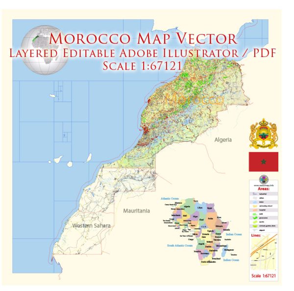
General overview of Morocco’s maritime and air transportation systems.
Maritime Transportation:
- Ports: Morocco has several important ports along its Atlantic and Mediterranean coasts. Some major ports include:
- Port of Casablanca: One of the largest and busiest ports in North Africa, handling a significant portion of Morocco’s import and export activities.
- Port of Tangier-Med: A strategic port complex located near the Strait of Gibraltar, known for its modern facilities and connectivity to Europe.
- Shipping Lines:
- Morocco has well-established maritime connections with Europe, facilitating the transport of goods and passengers.
- Ferries operate between Moroccan ports and those in Spain, linking cities like Tangier to destinations such as Algeciras.
- Fishing Industry:
- Morocco has a thriving fishing industry, and its ports play a crucial role in supporting the export of fish and seafood products.
Air Transportation:
- Airports:
- Mohammed V International Airport (CMN): Located near Casablanca, it is the busiest airport in Morocco and serves as a major hub for international flights.
- Menara Airport (RAK): Situated in Marrakech, it is another key international airport catering to both domestic and international flights.
- Tangier Ibn Battouta Airport (TNG): Serving the northern region, it is an important gateway for travelers and cargo.
- Airlines:
- Royal Air Maroc (RAM) is the national flag carrier and the largest airline in the country, operating both domestic and international flights.
- Morocco has also attracted several international airlines, contributing to its connectivity with various global destinations.
- Domestic Flights:
- Domestic air travel connects major cities like Casablanca, Marrakech, Rabat, and Tangier, making it convenient for both business and leisure travel within the country.
- Infrastructure Development:
- Morocco has invested in modernizing its airports, enhancing facilities, and expanding capacity to accommodate the growing number of passengers and cargo traffic.
- Tourism:
- The air transportation system plays a vital role in supporting Morocco’s tourism industry, bringing in visitors from around the world to explore its rich cultural heritage and diverse landscapes.
For the most up-to-date and detailed information, it is recommended to check the latest sources or official websites related to Moroccan maritime and air transportation.


 Author: Kirill Shrayber, Ph.D. FRGS