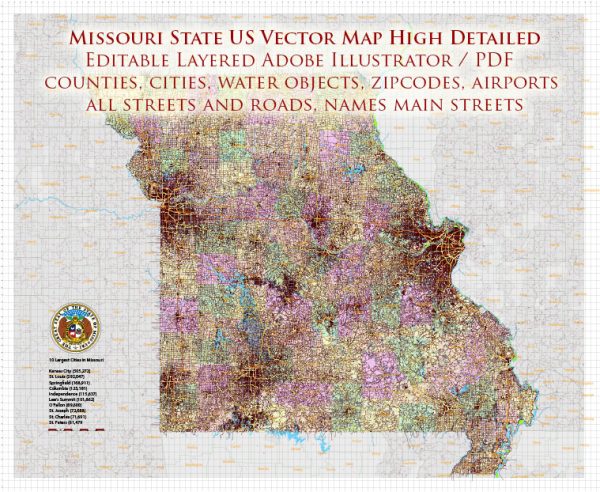
Missouri, located in the central United States, is primarily a landlocked state and does not have direct access to major oceans or seas. As a result, it doesn’t have a significant maritime presence. However, the state is well-connected through its river systems, providing important water transportation routes.
The major river that plays a crucial role in water transportation in Missouri is the Mississippi River. The Mississippi River borders the eastern side of the state, serving as a vital waterway for the transportation of goods and commodities. The river is navigable, and its significance for commerce and transportation dates back to the early days of American history.
Additionally, the Missouri River, one of the longest rivers in North America, flows through the western part of the state. While the Missouri River itself is important for transportation and commerce, its primary economic impact is often felt beyond the borders of the state.
The Port of St. Louis, situated along the Mississippi River, is a key transportation hub in Missouri. It serves as a major inland port, facilitating the movement of goods between the Midwest and other regions of the United States. The port handles a variety of cargo, including agricultural products, raw materials, and manufactured goods.
In summary, while Missouri doesn’t have direct access to the ocean, its strategic location along the Mississippi River provides important water transportation routes, particularly through the Port of St. Louis, contributing to the state’s overall economic connectivity.


 Author: Kirill Shrayber, Ph.D.