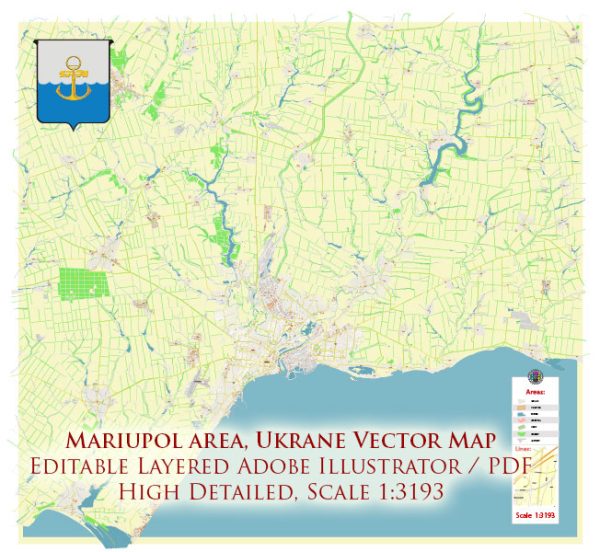
Mariupol, being a port city on the northern coast of the Sea of Azov, has a significant maritime industry and plays a crucial role in transportation and trade. Here is a general description of Mariupol’s maritime industry and transportation:
- Port of Mariupol:
- The Port of Mariupol is a major seaport on the Sea of Azov, contributing significantly to the maritime industry of the region.
- It serves as a key transportation hub for the export and import of goods, particularly steel and grain products.
- Cargo Handling:
- The port handles various types of cargo, including bulk commodities like iron and steel products, coal, grain, and other goods.
- Steel Industry:
- Mariupol is known for its steel industry, and the port facilitates the export of steel products produced by local metallurgical plants.
- Transportation Networks:
- The city is well-connected by road and rail networks, facilitating the transportation of goods to and from the port.
- The railway station plays a crucial role in connecting Mariupol with other cities in Ukraine and beyond.
- Sea Trade:
- The maritime industry in Mariupol involves international sea trade, with ships transporting goods to various destinations globally.
- Fishing Industry:
- Given its coastal location, Mariupol may also have a fishing industry contributing to the local economy.
- Infrastructure for Shipping:
- The port likely has infrastructure such as docks, terminals, and storage facilities to handle the loading and unloading of cargo ships.
- Customs and Logistics:
- Customs and logistics services are essential components of the maritime industry, ensuring the smooth flow of goods through the port.
- Economic Impact:
- The maritime and transportation sectors in Mariupol have a significant impact on the local and regional economy, providing employment and contributing to trade revenue.


 Author: Kirill Shrayber, Ph.D. FRGS