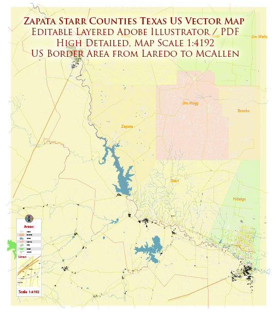
Zapata County and Starr County are both located in the state of Texas, United States. Here are some of the main cities and towns in each county:
Zapata County:
- Zapata: This is the county seat and the largest city in Zapata County.
- San Ygnacio: A historic community located along the Rio Grande.
Starr County:
- Rio Grande City: This is the county seat and the largest city in Starr County.
- Roma: A historic town located on the Rio Grande, known for its architecture and cultural significance.
- Escobares: A small community in Starr County.
- La Grulla: Another community in Starr County.
These counties are situated in the southern part of Texas, near the U.S.-Mexico border, and they have a rich cultural and historical background. The cities and towns mentioned are just a few of the populated areas in each county.


 Author: Kirill Shrayber, Ph.D. FRGS