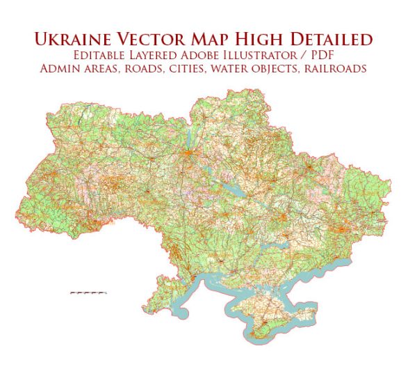
Ukraine is a country located in Eastern Europe with a coastline along the Black Sea and the Sea of Azov.
Maritime Transportation:
- Ports: Ukraine has several significant ports along its Black Sea and Sea of Azov coasts, playing a crucial role in the country’s maritime trade. Some of the major ports include Odessa, Yuzhny, and Mykolaiv on the Black Sea, as well as Mariupol and Berdyansk on the Sea of Azov.
- Shipping Lanes: The Black Sea and the Sea of Azov are vital for maritime trade, providing access to international waters. Ukraine’s ports are strategically located for shipping goods to and from Eastern Europe.
- Fleet: Ukraine has a fleet of merchant ships involved in various maritime activities, including the transportation of goods and commodities. The fleet includes both bulk carriers and container ships.
Air Transportation:
- Airports: Ukraine has several international airports that serve as major hubs for air transportation. The largest and busiest among them is Boryspil International Airport in Kyiv. Other significant airports include Lviv International Airport, Odesa International Airport, and Kharkiv International Airport.
- Airlines: Ukraine is home to several airlines, both national and international carriers. Ukraine International Airlines (UIA) is the flag carrier, providing domestic and international flights. Various international airlines also operate flights to and from Ukrainian airports.
- Air Traffic Control: The country has a well-established air traffic control system to ensure the safety and efficiency of air travel. The State Aviation Service of Ukraine is responsible for overseeing civil aviation in the country.
- Infrastructure and Connectivity: The government has been investing in improving airport infrastructure to meet international standards. Connectivity between major cities is facilitated by a network of domestic flights, making it easier for passengers to travel within the country.
Please verify this information with more recent sources, as developments in transportation infrastructure can occur over time.


 Author: Kirill Shrayber, Ph.D. FRGS