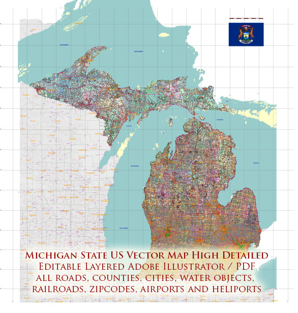
Michigan is a state located in the Great Lakes and Midwestern regions of the United States. Here are some of the main cities and towns in Michigan:
- Detroit – The largest city in Michigan and known as the Motor City, famous for its automotive industry.
- Grand Rapids – Located on the Grand River, it is the second-largest city in the state and a center for art and culture.
- Lansing – The state capital of Michigan, situated in the central part of the state.
- Ann Arbor – Home to the University of Michigan, Ann Arbor is a vibrant college town.
- Flint – Known for its historical significance in the automotive industry and more recently for water quality issues.
- Dearborn – A city in the Detroit metropolitan area and home to the Henry Ford Museum and Greenfield Village.
- Sterling Heights – A suburb of Detroit and one of the largest cities in Michigan.
- Warren – Another suburb of Detroit and the third most populous city in the state.
- Livonia – A city in the northwest part of Wayne County, a suburb of Detroit.
- Kalamazoo – Located in southwestern Michigan and known for its educational institutions.
- Troy – A northern suburb of Detroit known for its business and commercial centers.
- Muskegon – Situated along Lake Michigan’s eastern shore, known for its beaches and outdoor activities.
- Saginaw – Located in the central part of the state, along the Saginaw River.
- Battle Creek – Famous for being the headquarters of Kellogg Company and Post Cereals.
- Holland – A city on the shores of Lake Michigan, known for its Dutch heritage and tulip festivals.
These are just a few examples, and Michigan has many more towns and cities with their own unique characteristics and attractions.


 Author: Kirill Shrayber, Ph.D. FRGS