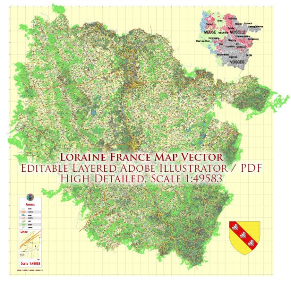
Lorraine is a historical region located in northeastern France. It is now part of the administrative region of Grand Est. Some of the main cities and towns in Lorraine include:
- Metz: The capital and largest city of Lorraine, known for its historic architecture, including the Metz Cathedral and the Centre Pompidou-Metz.
- Nancy: Another major city in Lorraine, famous for its 18th-century architecture, including the Place Stanislas, a UNESCO World Heritage site.
- Thionville: Located near the borders of Luxembourg, Germany, and Belgium, Thionville is an important industrial and commercial center.
- Épinal: Known for its picturesque setting on the Moselle River and for the images and engravings produced by the Imagerie d’Épinal, a traditional local industry.
- Forbach: Situated near the border with Germany, Forbach has a history shaped by its coal mining and steel industries.
- Saint-Dié-des-Vosges: Nestled in the Vosges Mountains, this town is known for its geographical and cartographic history and hosts the International Festival of Geography.
These are just a few examples, and there are many more charming towns and villages throughout the Lorraine region, each with its own unique character and history.


 Author: Kirill Shrayber, Ph.D.