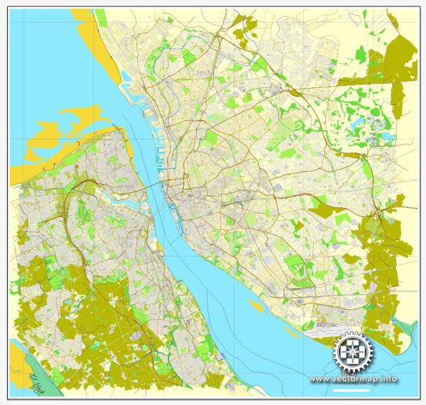
Liverpool and Birkenhead are both prominent cities in the northwest of England, situated along the River Mersey. They have a rich maritime history and play a crucial role in the transportation network of the United Kingdom.
Maritime Transportation:
- Port of Liverpool: The Port of Liverpool is one of the largest and busiest ports in the UK. It has a long history dating back centuries and has been a key hub for trade and shipping. The port handles various types of cargo, including containers, bulk cargo, and general cargo.
- Mersey Docks and Harbour Company: This company manages the facilities at the Port of Liverpool and is responsible for maintaining and developing the port infrastructure. The port has undergone significant modernization to accommodate larger vessels and improve efficiency.
- Liverpool Waters: This is a large-scale development project aiming to transform Liverpool’s waterfront. It includes plans for new commercial and residential spaces, as well as improved port facilities.
Air Transportation:
- Liverpool John Lennon Airport: Located southeast of the city, Liverpool John Lennon Airport is an international airport serving the region. It provides both domestic and international flights, connecting Liverpool to various destinations across Europe and beyond.
- Transport Links: Liverpool is well-connected by road and rail, making it accessible for passengers and freight. The city’s transportation infrastructure is designed to facilitate the movement of people and goods to and from the port and airport efficiently.


 Author: Kirill Shrayber, Ph.D. FRGS