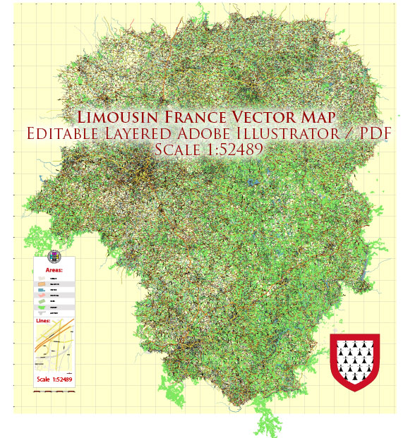
Limousin is a historical and cultural region located in central France. It was an administrative region until 2016 when it was merged into the larger administrative region of Nouvelle-Aquitaine. Here are some of the main cities and towns that were part of Limousin:
- Limoges: The largest city in the region and historically an important center for porcelain production. Limoges is known for its medieval and Renaissance architecture, including the Limoges Cathedral.
- Brive-la-Gaillarde: A town with a rich history and a picturesque old town. It is located along the Corrèze River and has a lively market.
- Guéret: The capital of the Creuse department, Guéret is known for its cultural heritage and the Château de Villemonteix.
- Tulle: The capital of the Corrèze department, Tulle is known for its accordion manufacturing and is situated along the Corrèze River.
- Aubusson: Famous for its tapestries, Aubusson is a small town with a long history of craftsmanship. The town is also known for its medieval bridges and buildings.
- Ussel: Located in the Corrèze department, Ussel is known for its industrial history and is situated on the edge of the Millevaches Plateau.
- Bellac: A charming town with a medieval bridge and historic buildings, Bellac is situated on the banks of the Vincou River.


 Author: Kirill Shrayber, Ph.D. FRGS