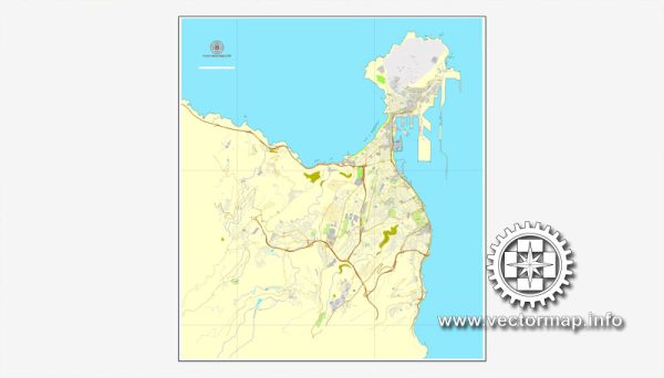
Las Palmas is a city located on the island of Gran Canaria in the Canary Islands, Spain. Please note that there may have been developments or changes since then.
Maritime Transportation:
Las Palmas has a significant maritime presence due to its strategic location and the importance of its ports. The city is home to the Port of Las Palmas, which is one of the busiest ports in the Atlantic and plays a crucial role in both regional and international trade.
- Port of Las Palmas: This port is divided into two main areas: Puerto de la Luz and Puerto de las Palmas. Puerto de la Luz is the commercial port, handling a variety of cargoes, including containers, bulk cargo, and general cargo. Puerto de las Palmas is more focused on passenger traffic, including cruise ships.
- Cruise Ship Terminal: Las Palmas serves as a popular port of call for cruise ships, attracting tourists from around the world. The city’s cruise ship terminal facilitates the arrival and departure of cruise liners, contributing to the local economy through tourism-related activities.
Air Transportation:
Las Palmas is served by Gran Canaria Airport (LPA), which is one of the busiest airports in Spain and a key transportation hub for the Canary Islands. Here are some key points regarding air transportation:
- Gran Canaria Airport (LPA): The airport is located about 18 kilometers south of Las Palmas city center. It has two terminals, one for intercontinental flights and the other for European and domestic flights.
- Intercontinental Connectivity: Gran Canaria Airport has connections to various international destinations, particularly serving as a gateway for tourists traveling to and from Europe.
- Domestic Flights: The airport also handles domestic flights connecting Gran Canaria to other Spanish cities and islands.
- Tourist Traffic: Given the popularity of the Canary Islands as a tourist destination, the airport plays a crucial role in facilitating the influx of tourists to the region.


 Author: Kirill Shrayber, Ph.D. FRGS