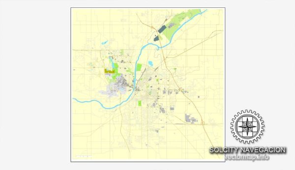
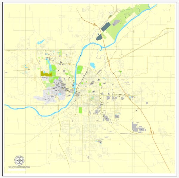
General information based on typical characteristics of cities in the United States.
Lafayette is a city located in Tippecanoe County in the state of Indiana. It is often associated with its neighboring city, West Lafayette, which is home to Purdue University. Here are some common urban amenities you might find in Lafayette:
- Education: Purdue University is a major academic institution in the area, offering a range of educational and cultural opportunities. The presence of a university often contributes to a vibrant intellectual and cultural scene.
- Recreation: Lafayette likely has parks, recreational areas, and sports facilities for residents and visitors. Parks provide spaces for outdoor activities, sports, and community events.
- Cultural Attractions: Cities often have cultural amenities such as museums, theaters, and art galleries. These venues may host art exhibitions, performances, and other cultural events.
- Shopping and Dining: Urban areas typically feature a variety of shopping options, ranging from local boutiques to larger retail chains. Similarly, there should be a diverse selection of restaurants, cafes, and eateries offering a range of cuisines.
- Transportation: Lafayette likely has transportation infrastructure, including public transit, to facilitate easy movement within the city. This could include buses or other public transportation options.
- Healthcare Facilities: Access to healthcare is an essential urban amenity. Lafayette should have hospitals, clinics, and medical facilities to meet the healthcare needs of the community.
- Community Events: Cities often organize events and festivals to bring people together. These could include cultural festivals, music events, and other community gatherings.
- Libraries: Public libraries are common in urban areas, providing residents with access to a wide range of books, resources, and community programs.
Remember that the specific amenities and their quality can vary, and there may have been changes or developments since my last update. I recommend checking more recent local sources for the latest information on Lafayette’s urban amenities.


 Author: Kirill Shrayber, Ph.D. FRGS