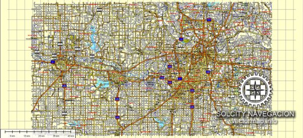
General information about Kansas City, Lawrence, and Topeka in the United States. Keep in mind that specific details may have changed since then.
- Kansas City:
- Location: Straddling the border of Kansas and Missouri, Kansas City is known for its distinctive identity on both sides of the state line.
- Urban Amenities:
- Cultural Scene: Kansas City boasts a vibrant cultural scene with various museums, including the Nelson-Atkins Museum of Art and the National World War I Museum and Memorial.
- Barbecue Capital: The city is renowned for its barbecue, and there are numerous barbecue joints offering a variety of styles.
- Music and Entertainment: Jazz has a significant presence in Kansas City, and the city has a rich musical heritage. The Power and Light District is a popular area for nightlife and entertainment.
- Sports: Home to the Kansas City Chiefs (NFL) and the Kansas City Royals (MLB), sports enthusiasts can enjoy games throughout the year.
- Lawrence:
- Location: Lawrence is situated in the northeastern part of Kansas and is home to the University of Kansas.
- Urban Amenities:
- Educational Hub: The University of Kansas contributes to Lawrence’s academic and cultural atmosphere. The town has a college-town vibe with bookstores, cafes, and student-friendly spaces.
- Cultural Events: Lawrence hosts various cultural events and festivals, and the historic downtown area features unique shops, galleries, and restaurants.
- Outdoor Recreation: Lawrence is near Clinton Lake and offers outdoor enthusiasts opportunities for hiking, biking, and water activities.
- Topeka:
- Location: Topeka is the capital city of Kansas and is situated in the northeastern part of the state.
- Urban Amenities:
- Historical Sites: Topeka features historical sites such as the Kansas State Capitol and the Brown v. Board of Education National Historic Site.
- Cultural Attractions: The Topeka Performing Arts Center and the Mulvane Art Museum contribute to the city’s cultural scene.
- Parks and Recreation: Gage Park is a popular spot, offering a zoo, botanical gardens, and recreational facilities.
- Government and Business: As the state capital, Topeka is home to various government offices and has a mix of businesses and services.
Please note that developments and changes can occur, so it’s a good idea to check more recent sources for the latest information on these cities.


 Author: Kirill Shrayber, Ph.D. FRGS