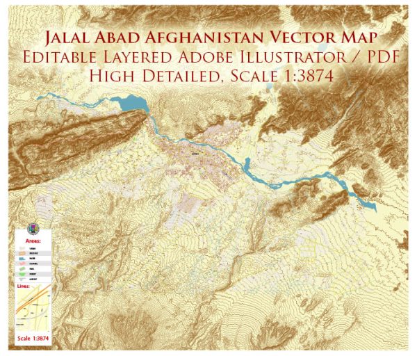
Jalalabad is a city in eastern Afghanistan and the capital of Nangarhar Province.
As of my last update, Jalalabad had some urban amenities typical of a mid-sized Afghan city. These amenities may include:
- Markets and Bazaars: Jalalabad likely had local markets and bazaars where residents could buy various goods and essentials. Afghan markets are often vibrant, offering a wide range of products.
- Mosques: Mosques play a central role in Afghan cities, providing places of worship and community gatherings.
- Educational Institutions: There were likely schools and possibly a university or other educational institutions to serve the local population.
- Healthcare Facilities: Hospitals and clinics would be present to provide medical services to the residents.
- Transportation: Jalalabad is a key transportation hub in eastern Afghanistan, with roads connecting it to other major cities. There may be a local bus system and other forms of transportation.
- Government Offices: As the capital of Nangarhar Province, Jalalabad would have government offices, including administrative and regulatory offices.
- Public Spaces: Parks and public spaces are common in cities, providing areas for recreation and socializing.
- Cultural and Entertainment Venues: There may be cultural centers, theaters, or other venues for entertainment and cultural events.
- Infrastructure: Basic infrastructure such as electricity, water supply, and sanitation facilities would be present to varying degrees.
It’s important to note that the situation in Afghanistan, including the availability of amenities and services, may have changed due to the evolving political and security conditions. Additionally, I recommend checking with recent sources for the most up-to-date information.


 Author: Kirill Shrayber, Ph.D. FRGS