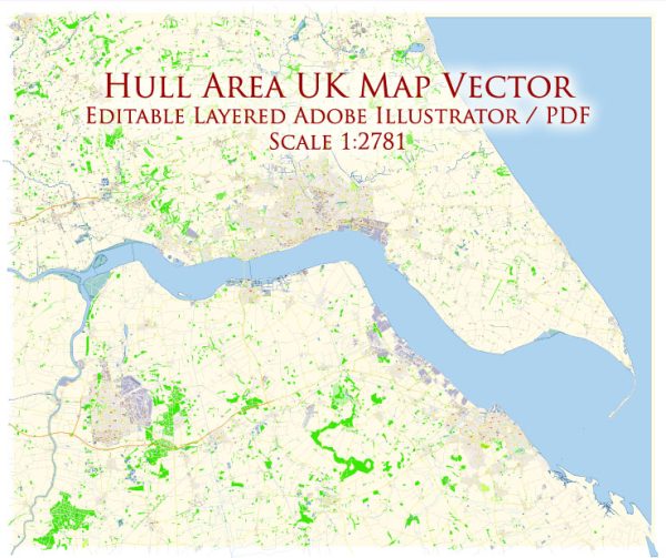
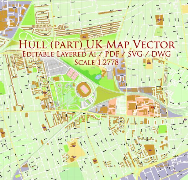
Hull, officially known as Kingston upon Hull, is a city in the East Riding of Yorkshire, England.
- Cultural Attractions:
- The Deep: A large, futuristic aquarium that is an iconic symbol of Hull.
- Humber Street: Known for its cultural venues, galleries, and street art.
- Hull Maritime Museum: Showcasing the city’s maritime history.
- Shopping:
- St Stephen’s Shopping Centre: A modern shopping complex with a range of retail stores.
- Princes Quay Shopping Centre: Located on the waterfront, offering shopping and dining.
- Parks and Outdoor Spaces:
- East Park: A large public park with a boating lake, animal education center, and gardens.
- Pearson Park: One of the oldest parks in Hull, featuring Victorian landscaping and a conservatory.
- Sports and Recreation:
- KCOM Stadium: Home to Hull City Football Club and Hull FC rugby team.
- Ennerdale Leisure Centre: Facilities for swimming, fitness, and sports activities.
- Education:
- University of Hull: A major higher education institution with a diverse range of academic programs.
- Hull College: Providing further education and vocational training.
- Transportation:
- Hull Paragon Interchange: The central transportation hub, connecting trains and buses.
- A63 Dual Carriageway: Connecting Hull to the motorway network.
- Dining and Entertainment:
- Old Town: Featuring historic pubs, restaurants, and a lively nightlife scene.
- Fruit Market: A trendy area with bars, cafes, and creative spaces.
- Healthcare:
- Hull Royal Infirmary: The main hospital providing healthcare services.
- Local Clinics and Health Centers: Distributed throughout the city.
- Civic Facilities:
- Hull City Hall: Hosting concerts, events, and performances.
- Guildhall: A historic building used for events and official functions.
- Events and Festivals:
- Hull Freedom Festival: Celebrating arts and culture.
- Humber Street Sesh: A music and arts festival in the Fruit Market area.
- Transportation:
- Public Transport: Hull has a well-connected bus network, and the Paragon Interchange facilitates train travel.
- Roads: The A63 connects Hull to the national motorway network.
Keep in mind that the amenities and attractions in Hull may have evolved or changed after my last update, so it’s advisable to check for the latest information from local sources or official websites.


 Author: Kirill Shrayber, Ph.D. FRGS