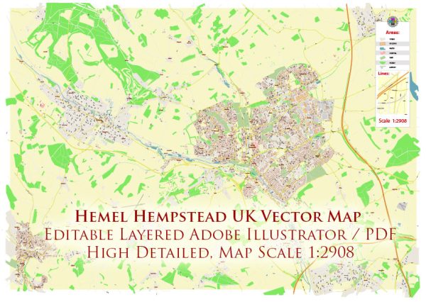
Hemel Hempstead is a town in Hertfordshire, England. Here’s a general overview of urban amenities in Hemel Hempstead:
- Shopping:
- Hemel Hempstead offers a range of shopping options, including the Riverside Shopping Centre and Marlowes Shopping Centre, where you can find a mix of high street brands, independent shops, and dining options.
- Dining and Entertainment:
- The town has various restaurants, cafes, and pubs offering diverse cuisines. There are also entertainment venues, cinemas, and theaters for cultural and leisure activities.
- Parks and Green Spaces:
- Hemel Hempstead is surrounded by parks and green spaces, such as Gadebridge Park, which provides a pleasant environment for outdoor activities and relaxation.
- Sports and Recreation:
- There are sports facilities in and around Hemel Hempstead, including sports clubs, gyms, and leisure centers for various activities like swimming, fitness classes, and team sports.
- Transportation:
- The town is well-connected by road and public transportation. Hemel Hempstead has its own railway station, providing links to London and other nearby towns.
- Education:
- There are primary and secondary schools in the town, along with options for further education. The education infrastructure supports a range of academic and vocational pathways.
- Healthcare:
- Hemel Hempstead has healthcare facilities, including doctor’s offices, clinics, and a hospital, to cater to the medical needs of the residents.
- Community Services:
- The town offers community services, such as libraries, community centers, and social organizations that contribute to the overall well-being of the residents.
- Cultural and Historical Sites:
- Hemel Hempstead has some historical sites and landmarks, reflecting its heritage. These may include museums or historical buildings.
- Business and Employment:
- The town may have business parks and employment opportunities, contributing to the local economy.
- Events and Festivals:
- Throughout the year, there may be events and festivals organized in Hemel Hempstead, providing opportunities for socializing and community engagement.
Remember that urban amenities can evolve, so it’s advisable to check more recent sources or the official town website for the latest information on amenities and services in Hemel Hempstead.


 Author: Kirill Shrayber, Ph.D. FRGS