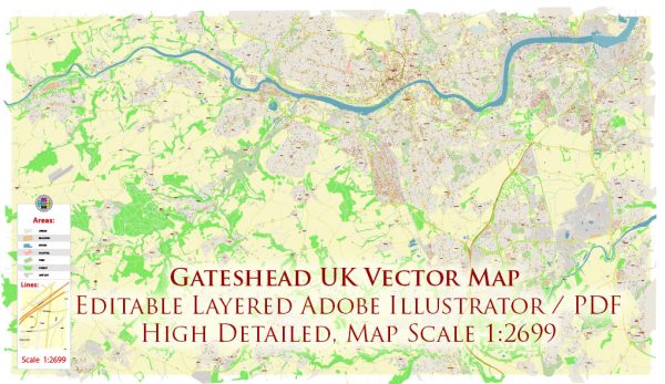
Gateshead is a town in Tyne and Wear, England, situated on the southern bank of the River Tyne across from Newcastle upon Tyne. The urban amenities in Gateshead provide a mix of cultural, recreational, and practical facilities.
- Cultural and Recreational Facilities:
- The Sage Gateshead: A prominent concert venue and center for musical education. It hosts a variety of performances, including classical, jazz, and contemporary music.
- BALTIC Centre for Contemporary Art: A major international center for contemporary art, housed in a former flour mill on the south bank of the River Tyne.
- Gateshead International Stadium: A large sports venue that hosts athletics, football, and other events.
- Shopping and Dining:
- intu Metrocentre: One of the largest shopping centers in Europe, offering a wide range of shops, restaurants, and entertainment options.
- Gateshead Quayside: Features a mix of restaurants, bars, and cafes with scenic views of the River Tyne.
- Parks and Outdoor Spaces:
- Saltwell Park: A Victorian park with a boating lake, play areas, and beautifully landscaped gardens.
- Gateshead Riverside Park: Offers scenic walking and cycling paths along the River Tyne.
- Transportation:
- Metro Services: Gateshead is well-connected by the Tyne and Wear Metro system, providing easy access to Newcastle and other surrounding areas.
- Road Networks: Situated near major roadways, including the A1(M), providing convenient access by car.
- Education:
- Gateshead College: A further education college offering a range of courses and training programs.
- Local Schools: Gateshead has several primary and secondary schools catering to the educational needs of the local population.
- Healthcare:
- Queen Elizabeth Hospital: A major hospital serving Gateshead and the wider region, providing healthcare services.
- Community Services:
- Libraries: Gateshead has public libraries offering resources and community services.
- Community Centers: Various community centers host events and provide spaces for local activities.
- Local Events and Festivals:
- Gateshead hosts various events and festivals throughout the year, including cultural celebrations, music festivals, and community events.
It’s important to check local sources for the most up-to-date information on amenities and services in Gateshead, as the landscape of urban amenities can evolve over time.


 Author: Kirill Shrayber, Ph.D. FRGS