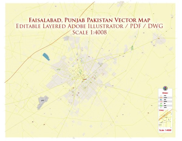
General description of urban amenities in Faisalabad, Pakistan.
Faisalabad, often referred to as the “Manchester of Pakistan,” is an important industrial city in the country. It is known for its significant contribution to the textile industry. Here are some aspects related to urban amenities in Faisalabad:
- Education:
- Faisalabad has numerous educational institutions, including universities, colleges, and schools.
- The city is home to the University of Agriculture, Faisalabad, which is one of the leading agricultural universities in Pakistan.
- There are schools affiliated with various education boards offering education at different levels.
- Healthcare:
- Faisalabad has well-established hospitals and medical facilities. Allied Hospital and Faisalabad Institute of Cardiology are among the major healthcare institutions.
- The city has a network of clinics, pharmacies, and healthcare centers to cater to the medical needs of the population.
- Transportation:
- Faisalabad is well-connected by road, and the city has a decent transportation system with buses, rickshaws, and taxis.
- The Faisalabad International Airport serves as a gateway for air travel.
- Commercial and Shopping Areas:
- The city has various markets and commercial areas where residents can find a wide range of products.
- ChenOne Tower, Kohinoor City, and D Ground are popular commercial centers.
- Recreational Facilities:
- Faisalabad has parks, gardens, and recreational areas for residents. Jinnah Gardens and Iqbal Stadium are some examples.
- There are cinemas, shopping malls, and entertainment venues for leisure activities.
- Utilities:
- Basic utilities such as electricity, water supply, and gas are available to residents.
- The city has been working on improving infrastructure to meet the growing demands of its population.
- Cultural and Religious Institutions:
- Faisalabad has a mix of cultural and religious institutions, including mosques, churches, and temples.
- The city hosts cultural events and festivals, showcasing the diversity of its population.
Remember that urban amenities can vary across different areas within the city. Development initiatives and changes in infrastructure may have occurred since my last update, so it’s advisable to consult more recent sources for the latest information on Faisalabad’s urban amenities.


 Author: Kirill Shrayber, Ph.D. FRGS