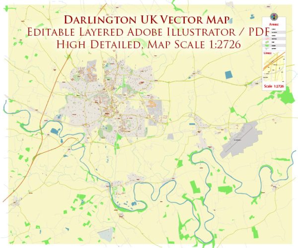
Darlington is a market town in County Durham, England.
Darlington has a mix of urban and suburban amenities, providing a range of services and facilities for residents and visitors. Here’s a general overview:
- Transportation:
- Rail and Bus Services: Darlington is well-connected by both rail and bus services. The Darlington railway station is a major transportation hub, providing access to various destinations.
- Road Network: The town is situated at a convenient location with good road connections, including the A1(M) motorway.
- Shopping:
- Town Centre: Darlington has a town centre with a mix of high street shops, boutiques, and various retail outlets. Popular shopping areas include Northgate and High Row.
- Cultural and Leisure Facilities:
- Theatre and Arts: The Darlington Hippodrome is a historic theater that hosts various performances, including plays, musicals, and concerts.
- Libraries and Museums: Darlington has libraries that serve as community hubs, and there are also museums like the Head of Steam – Darlington Railway Museum.
- Parks and Recreation:
- South Park: A large public park with green spaces, a lake, and recreational facilities. It’s a popular place for outdoor activities and events.
- River Skerne: The town is situated along the River Skerne, providing scenic areas for walks and other outdoor activities.
- Education:
- Schools and Colleges: Darlington has a range of primary and secondary schools, as well as colleges providing further education.
- Teesside University Darlington Campus: The town is home to a campus of Teesside University, offering higher education opportunities.
- Healthcare:
- Hospitals and Health Centers: Darlington has healthcare facilities, including hospitals and health centers, to cater to the medical needs of the residents.
- Restaurants and Cafes:
- Dining Options: The town offers various dining options, including restaurants, cafes, and pubs, serving a variety of cuisines.
- Community Services:
- Community Centers: There are community centers that host a range of activities and events, fostering a sense of community.
It’s recommended to check more recent sources or the official Darlington Borough Council website for the latest and more detailed information about the amenities and services in Darlington.


 Author: Kirill Shrayber, Ph.D.