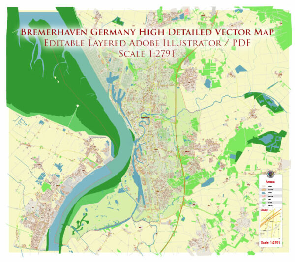
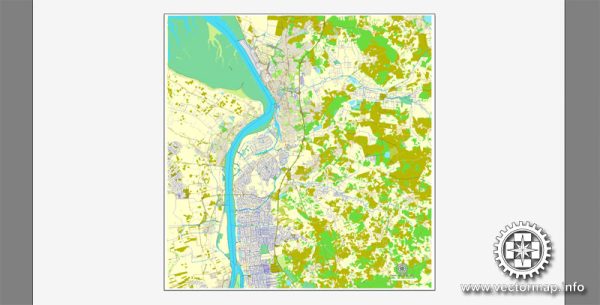
Bremerhaven, located in the northwestern part of Germany, is a port city with a rich maritime history. Here is a general overview of the urban amenities you might find in Bremerhaven:
- Museums and Cultural Institutions:
- German Maritime Museum (Deutsches Schiffahrtsmuseum): Located in Bremerhaven, this museum explores the country’s maritime history through a variety of exhibits and artifacts.
- Klimahaus Bremerhaven 8° Ost (Climate House): An interactive museum that takes visitors on a journey along the eighth meridian, showcasing different climates from around the world.
- Historic Sites:
- Old Harbor (Alter Hafen): The historic harbor area is a picturesque part of the city, offering a glimpse into its maritime past. You’ll find old ships, warehouses, and maritime-themed attractions.
- Zoo am Meer:
- This zoo, located near the harbor, is known for its focus on marine animals. It provides a unique opportunity to see and learn about various sea creatures.
- Shopping and Dining:
- Bremerhaven has shopping streets and areas where you can find a mix of local and international brands. The Columbus Center is a shopping mall in the city center.
- There are also numerous cafes, restaurants, and bars offering a variety of cuisine, including fresh seafood given the city’s coastal location.
- Parks and Recreation:
- Bürgerpark Bremerhaven: A park where residents and visitors can enjoy green spaces, walking paths, and recreational activities.
- Weserdeich (Weser Dyke): A dyke along the Weser River provides a scenic area for walking or cycling with views of the water.
- Cruise Terminal:
- Bremerhaven is a major port for cruise ships, and the Columbus Cruise Center serves as a terminal for cruise passengers.
- Transportation:
- The city has a well-developed transportation system, including buses and trains, making it easy to navigate and explore the surrounding areas.
- Education:
- Bremerhaven is home to several educational institutions, including the Hochschule Bremerhaven (University of Applied Sciences Bremerhaven).
- Events and Festivals:
- The city hosts various events and festivals throughout the year, celebrating maritime culture, music, and local traditions.
For the latest and most accurate information, I recommend checking more recent sources or contacting local authorities in Bremerhaven.


 Author: Kirill Shrayber, Ph.D. FRGS