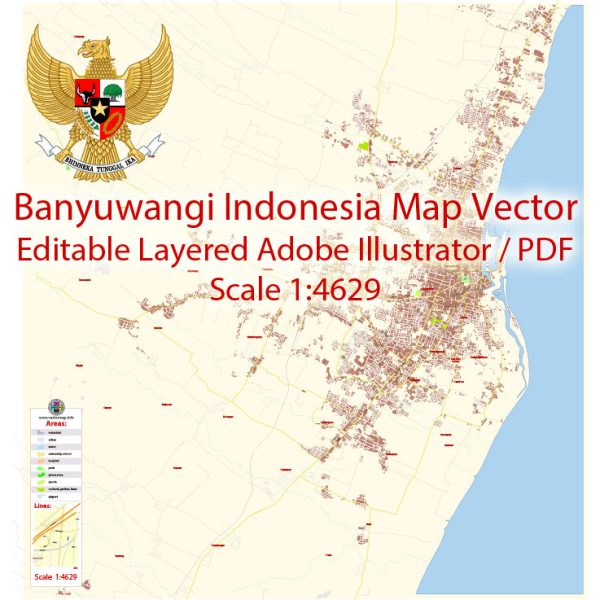
Banyuwangi is a regency located in East Java, Indonesia. While it is not a major urban center like Jakarta or Surabaya, Banyuwangi has its own unique charm and offers various amenities to residents and visitors. Here’s a general description of urban amenities in Banyuwangi:
- Transportation:
- Banyuwangi has road connections and transportation facilities for local travel.
- The regency is known for its ferry terminal connecting Java to Bali, providing a crucial transportation link between the two islands.
- Accommodation:
- There are hotels and guesthouses catering to tourists and travelers, ranging from budget to mid-range options.
- Accommodations may vary in terms of amenities and services.
- Cuisine:
- Banyuwangi offers a variety of local Javanese and Indonesian cuisine. Seafood is often a highlight, given the regency’s coastal location.
- Traditional markets and street food stalls may provide a glimpse into local culinary offerings.
- Cultural and Natural Attractions:
- Banyuwangi is known for its natural beauty, including beaches like Pulau Merah and Watu Dodol.
- The regency is also home to the Ijen Crater, a volcanic crater with a turquoise-colored acidic lake and sulfur mining activities.
- Cultural attractions may include traditional ceremonies, dances, and local art forms.
- Healthcare:
- Basic healthcare facilities are available, including clinics and hospitals, to cater to the medical needs of residents and visitors.
- Education:
- Banyuwangi has educational institutions, including schools and possibly higher education facilities, to serve the local population.
- Shopping:
- Local markets and shops offer a range of goods, including traditional crafts, souvenirs, and daily necessities.
- Community Facilities:
- Banyuwangi likely has community facilities such as religious centers, community halls, and recreational spaces.
- Events and Festivals:
- The regency may host various cultural events and festivals throughout the year, celebrating local traditions and attracting visitors.
- Infrastructure:
- Infrastructure includes roads, bridges, and utilities to support daily life.


 Author: Kirill Shrayber, Ph.D. FRGS