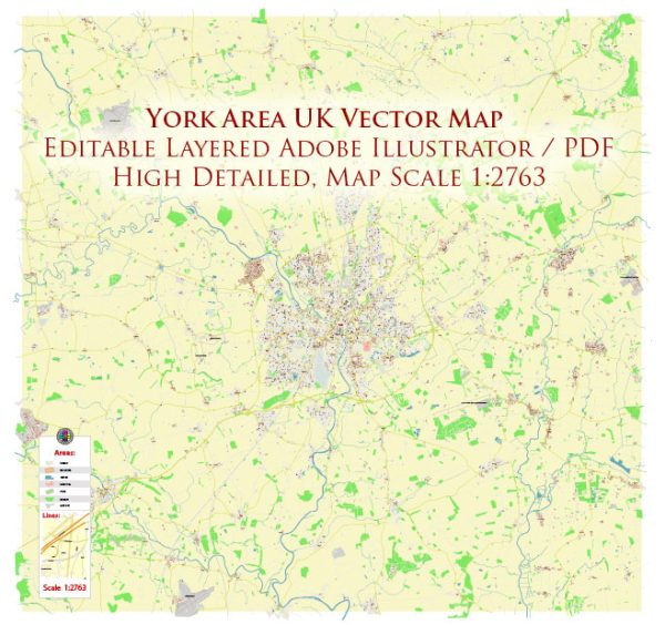
The history of urban development in the York area, United Kingdom, is rich and spans over many centuries. York is a historic city that has played a significant role in the development of England. Here is a brief overview of the key stages in the urban development of the York area:
- Roman Period (71 AD onwards): York, known as Eboracum in Roman times, was established as a fortress by the Romans in 71 AD. It quickly became an important military and administrative center in Roman Britain. The layout of the city was typical of Roman military camps, with a grid pattern of streets. The city’s strategic location along the River Ouse contributed to its importance.
- Anglo-Saxon and Viking Periods (5th-10th centuries): After the decline of Roman influence, York continued to be a significant center during the Anglo-Saxon period. The city, known as Eoforwic, was an important ecclesiastical center. The arrival of the Vikings in the 9th century led to the establishment of Jorvik, a Viking settlement that significantly influenced the city’s development.
- Medieval Period (11th-15th centuries): The medieval period saw the construction of many iconic structures in York, including the York Minster, one of the largest Gothic cathedrals in Europe. The city became a major trading hub, and its street plan expanded beyond the original Roman walls. The Shambles, a narrow medieval street, still exists today and is a popular tourist attraction.
- Tudor and Stuart Periods (16th-17th centuries): York continued to thrive during the Tudor and Stuart periods. The city walls were reinforced, and various guildhalls and merchant houses were built. The city’s architecture reflects the styles of these periods, with timber-framed buildings and Georgian townhouses.
- Industrial Revolution (18th-19th centuries): The Industrial Revolution brought significant changes to York. The city became a railway hub, connecting various parts of the country. The growth of industry led to the expansion of the city beyond its medieval boundaries. New residential and industrial areas were developed, and the railway station, York’s iconic Victorian structure, was built.
- 20th Century and Beyond: The 20th century witnessed further expansion and modernization. Urban planning initiatives aimed at preserving the city’s historic character while accommodating modern needs. The post-war period saw the development of new residential suburbs and infrastructure projects.
Today, York stands as a city that beautifully blends its rich history with modern amenities. The preservation of its medieval character, including the city walls and historic buildings, has made it a UNESCO World Heritage site and a popular destination for tourists interested in experiencing England’s history and culture.


 Author: Kirill Shrayber, Ph.D.