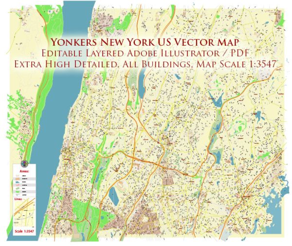
Yonkers, located in Westchester County, New York, has a rich history of urban development that spans several centuries. The city’s development is closely tied to its geographical location, transportation infrastructure, and economic activities. Here is an overview of the key phases in Yonkers’ urban development:
- Colonial Era (17th-18th centuries): Yonkers was originally inhabited by the Weckquaesgeek, a Native American tribe, before European settlers arrived in the 17th century. Adriaen van der Donck, the city’s namesake, was an early Dutch patroon who established a settlement called Colen Donck in the 1640s. The area saw agricultural development and the construction of mills along the Saw Mill River.
- 19th Century Industrialization: Yonkers experienced significant growth during the 19th century, driven by industrialization and improvements in transportation. The construction of the Erie Canal in the early 19th century facilitated the transportation of goods, and Yonkers became an industrial hub. Factories and manufacturing facilities, especially carpet and carpet-related industries, flourished along the waterfront.
- Expansion and Immigration (late 19th to early 20th centuries): The late 19th century saw a population boom in Yonkers, fueled by immigration. The city expanded, and residential areas were developed to accommodate the growing workforce. The Getty Square area became the city’s commercial center, featuring a mix of businesses, shops, and entertainment venues.
- Suburbanization (mid-20th century): Like many other American cities, Yonkers experienced suburbanization in the mid-20th century. The post-World War II era saw a shift of population from urban centers to suburban areas. This period witnessed the construction of suburban neighborhoods, shopping centers, and the growth of the automobile culture. Suburban development impacted the landscape of Yonkers and altered the demographics of its population.
- Urban Renewal and Redevelopment (late 20th century): In the latter half of the 20th century, Yonkers, like many urban areas, faced challenges related to economic decline and aging infrastructure. The city implemented urban renewal projects to revitalize certain neighborhoods, including Getty Square. Redevelopment efforts aimed to attract businesses and improve housing options.
- Modern Development and Revitalization (21st century): Yonkers has continued to evolve in the 21st century, with ongoing efforts to promote economic development and improve infrastructure. Waterfront development, including the Yonkers Pier and the Hudson Park residential complex, has enhanced the city’s appeal. The renovation of historic buildings and investment in public spaces contribute to the ongoing revitalization of Yonkers.
Throughout its history, Yonkers has faced various challenges and transformations, reflecting broader trends in urban development in the United States. Today, the city remains an integral part of the New York metropolitan area with a diverse community and a mix of residential, commercial, and recreational spaces.


 Author: Kirill Shrayber, Ph.D. FRGS