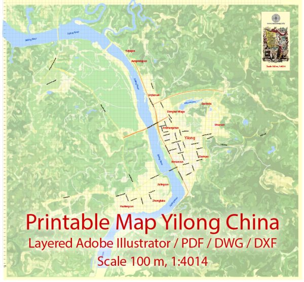
General overview of how urban development typically occurs in many Chinese cities.
Urban development in China has undergone significant transformations, especially in the latter half of the 20th century and into the 21st century. Rapid urbanization has been a defining feature of China’s development, with millions of people moving from rural areas to cities in search of better economic opportunities.
Here is a general pattern of urban development in China, which may be relevant to Yilong:
- Pre-reform era (Before 1978): China’s urban development was limited during this period, with the focus primarily on industrialization. Large cities like Beijing, Shanghai, and Guangzhou were the major centers of economic activity.
- Economic reforms (Late 1970s onward): Deng Xiaoping’s economic reforms in the late 1970s marked a turning point. Special Economic Zones (SEZs) were established to attract foreign investment, leading to rapid industrialization and urbanization. Many cities, beyond the traditional powerhouses, experienced significant growth.
- Migration and Urban Expansion (1980s-2000s): Rural-to-urban migration intensified, leading to the expansion of existing cities and the creation of new ones. This period saw the rise of “megacities” with populations exceeding 10 million people.
- Infrastructure Development (1990s onward): Massive investments were made in infrastructure, including transportation, telecommunications, and housing. High-speed rail networks, modern highways, and skyscrapers became common features of Chinese cities.
- Sustainable Urban Planning (2000s onward): As concerns about environmental sustainability grew, there was an increasing emphasis on green urban planning, eco-friendly architecture, and the development of green spaces within cities.
- Smart Cities and Technology (2010s onward): China has been at the forefront of incorporating technology into urban planning. Smart city initiatives, using data and technology to improve efficiency and quality of life, gained prominence.
In the case of Yilong, specific details about its urban development would depend on local and regional policies, economic activities, and geographic factors.


 Author: Kirill Shrayber, Ph.D. FRGS