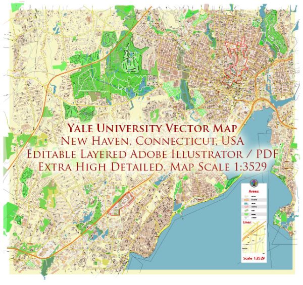
Yale University, located in New Haven, Connecticut, has a rich history that is intertwined with the urban development of the city. The story of Yale and New Haven’s growth is a testament to the close relationship between a prominent educational institution and its surrounding community. Here’s an overview of the history of Yale University and its impact on the urban development of New Haven:
- Founding and Early Years (1701-1800):
- Yale University was founded in 1701 as the Collegiate School in Saybrook, Connecticut, and later moved to New Haven in 1716.
- The university’s presence contributed to the growth of New Haven, attracting scholars, students, and faculty to the area.
- The early development of New Haven was influenced by its role as a colonial port and a center for trade and commerce.
- 19th Century Expansion and Industrialization (1800-1900):
- The 19th century saw significant expansion of both Yale and New Haven.
- Yale’s curriculum evolved, and it became a leading institution in the United States.
- New Haven experienced industrialization, with the rise of manufacturing and the establishment of businesses, contributing to population growth and economic development.
- The city’s layout and infrastructure began to adapt to the changing needs of a growing population.
- Yale’s Role in Urban Planning (1900-1950):
- In the early 20th century, Yale’s School of Architecture became a key player in urban planning and design.
- Notable architects and planners associated with Yale, such as Cass Gilbert and James Gamble Rogers, influenced the city’s architecture and urban layout.
- The university contributed to the planning and development of specific areas within New Haven.
- Post-World War II Era (1950s-1970s):
- Like many American cities, New Haven faced challenges related to suburbanization and the decline of traditional industries.
- Yale, under President Kingman Brewster Jr., sought to strengthen its ties with the community and address urban issues.
- The creation of programs like the Yale-New Haven Teachers Institute aimed to enhance education in the local community.
- Urban Renewal and Challenges (1980s-2000s):
- New Haven, like many cities, experienced urban renewal projects during the mid-20th century. Some of these projects had both positive and negative impacts on the cityscape.
- Yale played a role in initiatives to revitalize certain neighborhoods and promote economic development.
- Challenges such as economic disparities and social issues persisted, requiring ongoing efforts to address urban problems.
- Contemporary Period (2010s-Present):
- Yale continues to be a major economic and cultural force in New Haven.
- The university has been involved in various community engagement and development projects, working with local organizations to address social and economic issues.
- Sustainable development and preservation of historic structures have become priorities in both Yale’s and New Haven’s planning initiatives.
The history of Yale University and New Haven’s urban development is a complex narrative shaped by the interplay of education, industry, and community dynamics. Today, the relationship between Yale and the city continues to evolve, reflecting ongoing efforts to create a vibrant and inclusive urban environment.


 Author: Kirill Shrayber, Ph.D. FRGS