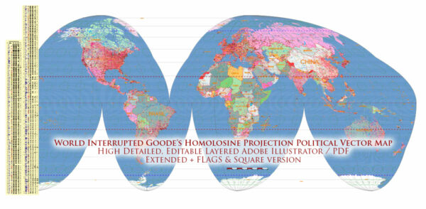
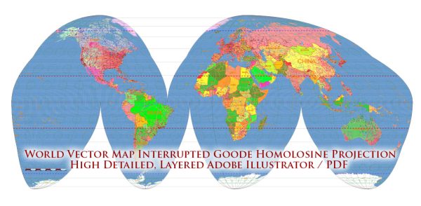
Goode’s Homolosine projection is a pseudocylindrical, equal-area map projection. It was developed by John Paul Goode in 1923 as a compromise between minimizing distortion and presenting a more accurate representation of landmasses. While it does have advantages, like preserving area, it also comes with its own set of problems and distortions.
- Shape Distortion: One of the major drawbacks of Goode’s Homolosine projection is the distortion of shapes, especially towards the outer edges of the map. Shapes of landmasses and features are not represented accurately, which can lead to misinterpretation of the geography.
- Discontinuity: Goode’s Homolosine projection often involves interrupting the map at certain points to manage distortion. This creates regions where the continuity is disrupted, and the distances and directions between these regions can be distorted.
- Direction Distortion: While the projection preserves area, it sacrifices accuracy in terms of direction. Angles and bearings are not always represented correctly, making it challenging to navigate accurately using this map.
- Complex Design: Goode’s Homolosine projection is a complex projection involving multiple segments. This complexity can make it difficult for people to interpret the map easily, especially in comparison to simpler projections.
- Limited for Navigation: Due to its distortion of shapes and directions, Goode’s Homolosine projection is not well-suited for navigation purposes. It is more commonly used for thematic maps where the focus is on presenting accurate representations of areas.
- Size Distortion at Edges: While the projection aims to preserve area, there is still size distortion at the edges of the segments. This means that features near the edges may appear larger or smaller than they actually are.
Despite these issues, Goode’s Homolosine projection is still used in certain contexts, especially when an equal-area projection is required for thematic mapping, where preserving the relative sizes of features is more important than maintaining their accurate shapes or directions.


 Author: Kirill Shrayber, Ph.D. FRGS