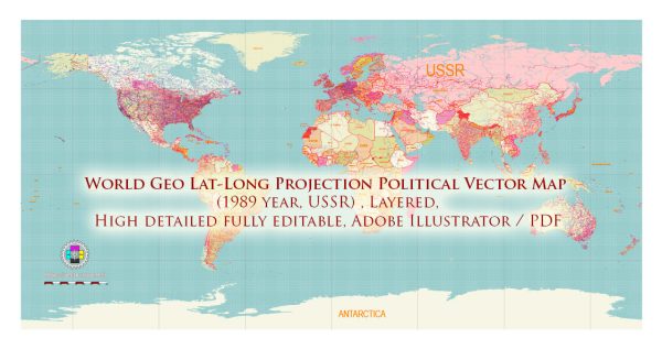
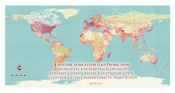
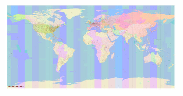
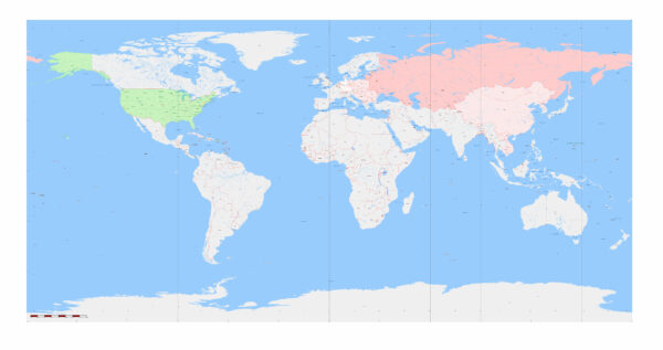
The representation of the Earth’s three-dimensional surface on a two-dimensional map inevitably introduces distortions, and different map projections attempt to balance or minimize these distortions based on specific criteria. The two primary geographic coordinates, latitude, and longitude, are essential for locating points on the Earth’s surface, and how these coordinates are translated onto a flat map can lead to various problems and distortions. Here are some common issues associated with geographic projections:
- Shape Distortion:
- Problem: Most map projections distort the shapes of land masses. For example, the Mercator projection preserves angles, making it useful for navigation, but it severely distorts the shapes of land masses, especially as you move toward the poles.
- Latitude-Longitude Impact: Depending on the projection, distortion in shape can vary at different latitudes.
- Area Distortion:
- Problem: Many projections sacrifice accurate representation of area to maintain other properties. Some regions may appear larger or smaller than they actually are.
- Latitude-Longitude Impact: Area distortion tends to increase as you move away from the equator in many map projections.
- Distance Distortion:
- Problem: Distances between points on the Earth’s surface are often distorted in map projections. For example, the Mercator projection preserves angles and straight lines but distorts distances.
- Latitude-Longitude Impact: Distortion in distance is more pronounced as you move toward higher latitudes.
- Direction Distortion:
- Problem: Preserving accurate compass directions between points is challenging in some projections.
- Latitude-Longitude Impact: Distortion in direction varies across latitudes in different projections.
- Polar Distortion:
- Problem: Near the poles, distortions can become extreme in some projections. This is known as polar distortion.
- Latitude-Longitude Impact: Polar distortion is often more severe at higher latitudes in certain map projections.
- Compromises:
- Problem: No single map projection can accurately represent all properties simultaneously.
- Latitude-Longitude Impact: The choice of projection often involves a trade-off between preserving shapes, areas, distances, and directions.
Popular map projections that attempt to strike a balance between various distortions include the Robinson projection, Winkel Tripel projection, and Mollweide projection. Each projection has its strengths and weaknesses, and the choice depends on the specific needs of the map and its intended use. Advances in technology and mapping techniques continue to contribute to the development of new projections and methods to mitigate distortions.


 Author: Kirill Shrayber, Ph.D. FRGS