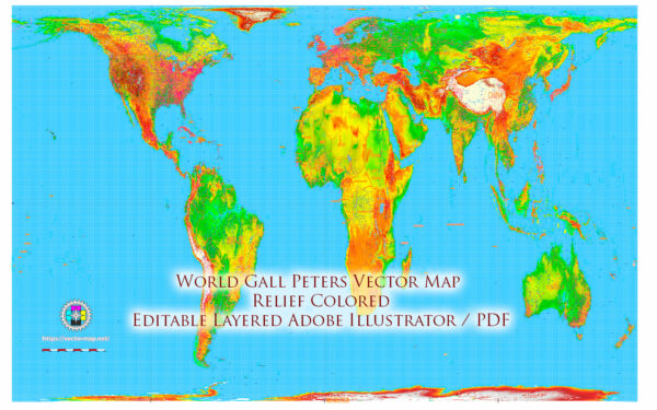
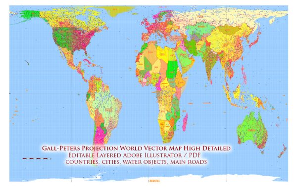
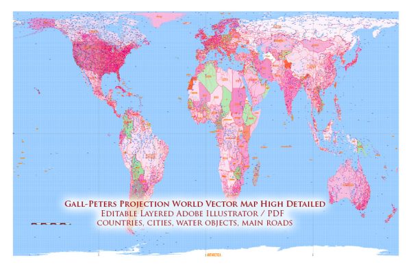
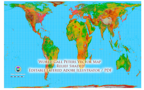
The Gall–Peters projection is a specific type of map projection that was first presented by James Gall in 1885 and independently by Arno Peters in 1974. Both Gall and Peters were concerned with addressing what they saw as distortions in other map projections, particularly the Mercator projection, which had been widely used for navigation but exhibited significant distortions in the size of land masses, especially near the poles.
James Gall, a Scottish clergyman and geographer, created his projection to provide a compromise between equal area and conformal (shape-preserving) characteristics. His goal was to create a map that minimized size distortions and accurately represented the relative sizes of land masses. Arno Peters, a German filmmaker and historian, independently developed a similar projection with the goal of addressing what he perceived as Eurocentric distortions in traditional map representations.
The Gall–Peters projection gained attention and sparked discussions about map design, representation, and the implications of various map projections. It was particularly promoted as a more equitable representation of the size of countries and continents, emphasizing the importance of accurately depicting the Global South. However, the projection also has its critics, as it introduces distortions in shape, particularly in the polar regions.
It’s important to note that the debate over map projections involves trade-offs between various characteristics, such as area, shape, distance, and direction. No map projection can perfectly represent all these features simultaneously, and mapmakers must choose the projection that best suits the specific needs of their map.
While the Gall–Peters projection has been used and advocated by some for its emphasis on equal area representation, other projections, such as the Robinson projection or the Winkel Tripel projection, attempt to strike a balance between different characteristics, offering a compromise that is visually pleasing and suitable for general-purpose mapping. The choice of map projection often depends on the purpose of the map and the specific aspects of geographic information that are most important for the intended audience.


 Author: Kirill Shrayber, Ph.D. FRGS