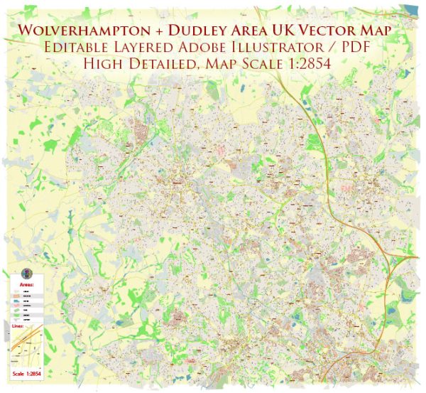
Wolverhampton and Dudley are two separate towns located in the West Midlands region of the United Kingdom. While they are distinct entities, they are often mentioned together due to their proximity and historical connections.
Wolverhampton:
- Early History: Wolverhampton has a long history that dates back to the Anglo-Saxon period. It was initially a market town and later developed into an industrial center during the Industrial Revolution.
- Industrial Revolution: The town experienced significant growth during the 18th and 19th centuries, primarily due to its strategic location and the booming industrial activities. Wolverhampton became known for its metalworking industries, particularly for the production of locks, iron, and steel.
- Transportation: The expansion of the canal network and the arrival of the railway in the 19th century further boosted Wolverhampton’s economic development by facilitating the transportation of goods and people.
- Architecture: The town boasts a mix of architectural styles, reflecting its historical development. There are still remnants of Victorian and Georgian architecture, especially in the city center.
Dudley:
- Medieval Origins: Dudley’s history can be traced back to the medieval period. Dudley Castle, a significant historical landmark, was originally built shortly after the Norman Conquest in the 11th century.
- Industrialization: Like Wolverhampton, Dudley experienced industrialization and urbanization during the 18th and 19th centuries. The town became known for its limestone and coal mining industries, contributing to the growth of the local economy.
- Dudley Canal and Tunnels: The Dudley Canal played a crucial role in transporting raw materials and finished goods, enhancing the town’s connectivity and economic prosperity.
- Post-War Era: After World War II, both Wolverhampton and Dudley underwent changes in response to the decline of traditional industries. Urban renewal projects aimed to modernize the infrastructure and create new opportunities for development.
- Contemporary Developments: In recent decades, both towns have seen efforts to revitalize their urban areas, with investments in infrastructure, retail, and cultural facilities. Redevelopment projects have sought to balance preserving historical elements with meeting the needs of a modern society.
In summary, the histories of Wolverhampton and Dudley are intertwined with industrialization, transportation developments, and post-war transformations. Today, they continue to evolve as urban centers with a mix of historical and contemporary influences.


 Author: Kirill Shrayber, Ph.D. FRGS