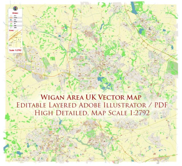
Wigan, located in Greater Manchester, England, has a history of urban development that spans several centuries. The town has evolved from its medieval origins to become an important industrial and mining center, experiencing changes in economic focus and urban structure over time.
- Medieval Origins (12th Century): Wigan’s history can be traced back to medieval times when it was a small market town. The parish church of All Saints, dating back to the 14th century, stands as a testament to the town’s early history.
- Industrial Revolution (18th and 19th Centuries): The Industrial Revolution had a profound impact on Wigan, transforming it from a market town into an industrial hub. The town became known for coal mining, and the mining industry played a crucial role in shaping Wigan’s urban landscape. The Leeds and Liverpool Canal, completed in the late 18th century, provided an essential transportation route for coal and other goods.
- Coal Mining and Industrial Growth: Wigan’s prosperity was closely tied to coal mining. The town became a major coal-producing area, and its coal pits fueled the Industrial Revolution. Mining operations led to the development of colliery communities, with rows of terraced houses built to accommodate the growing workforce.
- Canals and Railways: The canal network and later the railway system were vital to Wigan’s industrial development. They facilitated the transportation of coal and other goods, connecting Wigan to major industrial centers and ports.
- Textile Industry: In addition to coal mining, Wigan played a role in the textile industry. Cotton mills and weaving operations contributed to the town’s economic diversification.
- Urban Expansion and Housing: The population growth resulting from industrialization led to the expansion of Wigan’s urban area. Rows of terraced houses were constructed to accommodate the growing number of industrial workers and their families. The town’s urban fabric reflects the architectural styles of the 19th and early 20th centuries.
- Post-Industrial Era: Like many industrial towns, Wigan faced challenges in the post-industrial era. The decline of coal mining and other traditional industries led to economic restructuring and changes in the urban landscape. Redevelopment initiatives sought to repurpose former industrial areas and create new economic opportunities.
- Modern Urban Development: In recent years, Wigan has experienced efforts to revitalize its urban areas. Urban regeneration projects, cultural initiatives, and improvements to infrastructure aim to enhance the town’s appeal for residents, businesses, and visitors. The Grand Arcade shopping center, opened in 2007, is an example of such redevelopment efforts.
Wigan’s history of urban development reflects its transition from a medieval market town to a thriving industrial center and, subsequently, adjustments to the challenges of deindustrialization. The town’s historical and industrial heritage continues to shape its identity, while ongoing urban development projects contribute to its modernization.


 Author: Kirill Shrayber, Ph.D. FRGS