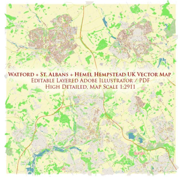
Watford, St Albans, and Hemel Hempstead are towns in Hertfordshire, United Kingdom, each with a distinct history of urban development. Here’s an overview of their key phases:
Watford:
- Early Settlement:
- Watford has ancient origins, with evidence of human settlement dating back to the Stone Age. It developed as a market town during the medieval period.
- Agriculture and Industry:
- Historically, Watford’s economy was based on agriculture. However, the Industrial Revolution brought industrial development, including printing and brewing industries.
- Transportation Hub:
- Watford’s strategic location on the Grand Junction Canal and later the railway contributed to its growth as a transportation hub. The construction of the Watford railway station in the 19th century facilitated connectivity.
- Post-War Expansion:
- After World War II, Watford experienced significant suburban expansion, with the development of residential neighborhoods to accommodate a growing population.
- Economic Diversification:
- Watford has diversified its economy beyond traditional industries. It is home to various businesses, retail centers, and offices, contributing to its status as a commuter town.
St Albans:
- Roman Origins:
- St Albans has ancient roots, dating back to Roman times when it was known as Verulamium. The city was an important Roman settlement.
- Medieval Cathedral City:
- St Albans became a significant medieval cathedral city. The construction of St Albans Cathedral, originally an abbey, commenced in the 11th century and played a central role in the city’s development.
- Market Town and Printing Industry:
- St Albans evolved as a market town with a focus on agriculture and trade. The city also had a notable printing industry during the medieval period.
- Industrial Revolution and Railways:
- The Industrial Revolution brought changes to St Albans, and the arrival of railways in the 19th century enhanced transportation links. St Albans railway station became a crucial connection.
- Victorian and Edwardian Expansion:
- During the Victorian and Edwardian eras, St Albans experienced expansion with the construction of residential areas, parks, and civic buildings.
- Post-War Development:
- St Albans underwent post-war development, balancing the preservation of its historic character with modernization. New neighborhoods were established to accommodate a growing population.
Hemel Hempstead:
- New Town Development:
- Hemel Hempstead’s significant transformation occurred in the post-war period when it was designated as a New Town under the New Towns Act of 1946. This led to planned urban development.
- Industrial and Residential Zones:
- The New Town plan involved the creation of distinct industrial, commercial, and residential zones. The Maylands Industrial Estate became a major industrial area.
- Modernist Architecture:
- Hemel Hempstead’s post-war development embraced modernist architecture, with the construction of high-rise buildings and functionalist design principles.
- Green Spaces and Parks:
- Despite its modern development, Hemel Hempstead incorporated green spaces and parks into its design, providing recreational areas for residents.
- Economic and Retail Hub:
- Hemel Hempstead evolved into an economic and retail hub with shopping centers, office complexes, and a diverse range of industries.
- Transportation Connectivity:
- The town’s transportation connectivity was enhanced with the M1 motorway and rail links, contributing to its accessibility.
Each of these towns in Hertfordshire has a unique history shaped by its geographic location, economic activities, and responses to historical events. While Watford evolved as a transportation hub and commuter town, St Albans retained its historic charm and significance as a cathedral city. Hemel Hempstead, as a New Town, reflects the mid-20th-century vision of planned urban development. Together, they contribute to the diverse urban landscape of Hertfordshire.


 Author: Kirill Shrayber, Ph.D. FRGS