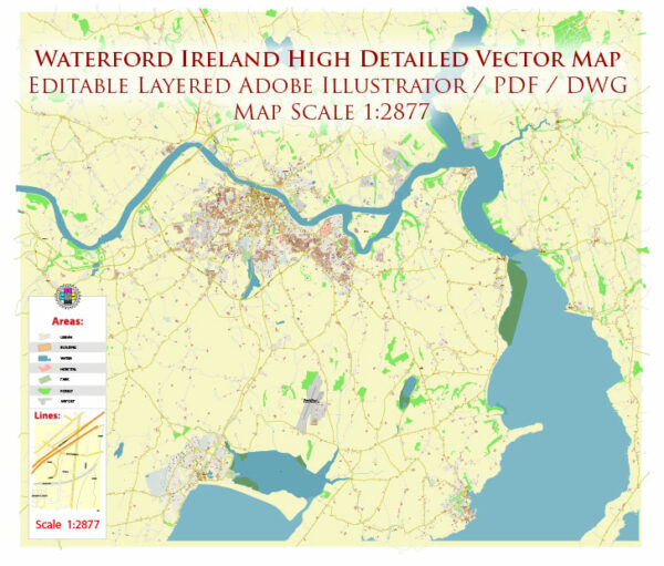
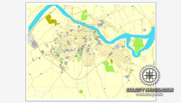
Waterford, a city in the southeast of Ireland, has a rich history that dates back over a thousand years. Here’s an overview of key phases in the history of urban development in Waterford:
Viking Settlement (9th-11th Centuries):
- Establishment of Waterford:
- Waterford is Ireland’s oldest city, founded by the Vikings in the 9th century. The city, initially a Viking settlement named Vadrefjord, became a major trading hub due to its strategic location on the River Suir.
- Reginald’s Tower:
- Reginald’s Tower, a circular tower, was constructed in the 10th century and stands as a testament to the Viking presence. It is one of the oldest urban civic buildings in Ireland.
Norman Period (12th-14th Centuries):
- Anglo-Norman Influence:
- In the 12th century, the Anglo-Normans arrived and took control of Waterford. The city became a key Anglo-Norman stronghold, and its strategic importance continued to grow.
- City Walls and Defenses:
- During the Norman period, substantial city walls and fortifications were constructed, including the building of defensive towers and gates. The remnants of these medieval walls are still visible in parts of the city.
Medieval and Renaissance Era (15th-17th Centuries):
- Trade and Prosperity:
- Waterford thrived as a medieval trading port, engaging in commerce with other European cities. The city’s prosperity was closely tied to its maritime activities.
- The Growth of Urban Infrastructure:
- The medieval and Renaissance periods saw the development of churches, marketplaces, and civic buildings. The Cathedral of the Most Holy Trinity, commonly known as Christ Church Cathedral, is one such example.
Tudor and Stuart Period (16th-17th Centuries):
- Sieges and Conflicts:
- Waterford experienced sieges and conflicts during the Tudor and Stuart periods, particularly in the context of political and religious struggles in Ireland. The city endured significant challenges, including the Cromwellian conquest.
18th and 19th Centuries:
- Economic Decline and Recovery:
- Waterford faced economic decline in the 18th century but experienced a degree of recovery in the 19th century. The city continued to be a center for trade and industry.
- Georgian Architecture:
- Georgian architecture characterized the development of some structures during the 18th century. Examples include the construction of elegant townhouses and public buildings.
Industrialization and Modernization (19th-20th Centuries):
- Waterford Crystal:
- In 1783, the Waterford Glass Company, later known as Waterford Crystal, was established. It became internationally renowned for its high-quality crystal products and contributed to the city’s industrial and economic development.
- Transportation Infrastructure:
- The development of transportation infrastructure, including railways and port facilities, played a crucial role in connecting Waterford to broader economic networks.
- Urban Expansion:
- The 19th and early 20th centuries saw urban expansion, with the city growing beyond its medieval walls. New neighborhoods, streets, and commercial areas were developed.
Contemporary Era:
- Cultural Heritage and Tourism:
- Waterford’s rich history is preserved in its cultural heritage, including museums, historic sites, and festivals. The Viking Triangle, an area in the city center, showcases Waterford’s Viking and medieval past.
- Economic Diversification:
- In recent decades, Waterford has diversified its economy beyond traditional industries. Education, healthcare, and technology sectors have become increasingly important.
- Regeneration Projects:
- Ongoing regeneration projects aim to enhance the city’s urban environment, preserve historic landmarks, and create modern amenities for residents and visitors.
Waterford’s history is deeply intertwined with its maritime and trading heritage, and the city continues to evolve while celebrating its rich cultural and historical legacy. Today, Waterford stands as a dynamic urban center that reflects both its ancient roots and its aspirations for the future.


 Author: Kirill Shrayber, Ph.D.