The urban development of Washington, D.C., the capital of the United States, has a rich and unique history. Here’s an overview of key phases in the urban development of Washington, D.C.:
Early Planning and Establishment (1790s):
- Residence Act (1790):
- The selection of Washington, D.C., as the capital was a result of the Residence Act of 1790. The act was part of a compromise between Alexander Hamilton, Thomas Jefferson, and James Madison to address the issue of where to establish the new federal capital.
- Pierre Charles L’Enfant’s Plan:
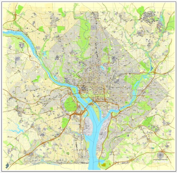
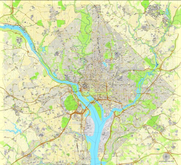
- French-American architect Pierre Charles L’Enfant was commissioned to design the city. His plan featured grand avenues, circles, and open spaces, emphasizing symmetry and grandeur.
- White House and Capitol:
- The construction of the White House (officially the Executive Mansion) and the Capitol became central to L’Enfant’s vision. These iconic structures were intended to symbolize the power and authority of the new federal government.
19th Century Expansion:
- Construction of the National Mall:
- The National Mall, a large open space between the Capitol and the Washington Monument, began to take shape. The Mall became a focal point for national events, monuments, and memorials.
- Lincoln’s Vision for the City:
- During the Civil War, President Abraham Lincoln expressed his vision for a city that would reflect the nation’s unity and strength. The expansion of federal government buildings continued during this period.
- Completion of the Washington Monument:
- The Washington Monument, a tribute to George Washington, was completed in 1884. The monument stands as an iconic symbol of the city.
20th Century Growth and Modernization:
- Development of the Federal Triangle:
- The early 20th century saw the development of the Federal Triangle, an area between the White House and the Capitol. It became home to numerous federal agencies and office buildings.
- New Deal Projects:
- During the Great Depression, New Deal projects brought additional construction to the city. Notable examples include the construction of the Jefferson Memorial and the Franklin D. Roosevelt Memorial.
- World War II and Post-War Changes:
- World War II brought increased activity to Washington, D.C., with wartime agencies and the Pentagon. Post-war, the city experienced population growth and suburbanization.
Civil Rights Era:
- March on Washington (1963):
- The March on Washington for Jobs and Freedom in 1963, culminating with Martin Luther King Jr.’s “I Have a Dream” speech at the Lincoln Memorial, brought national attention to civil rights issues.
- Urban Renewal Projects:
- Like many American cities, Washington, D.C., experienced urban renewal projects in the mid-20th century, with some neighborhoods undergoing significant changes.
Home Rule and Contemporary Developments:
- Home Rule Act (1973):
- The Home Rule Act granted Washington, D.C., greater autonomy in local governance, allowing residents to elect their own mayor and city council.
- Revitalization and Gentrification:
- In recent decades, parts of Washington, D.C., have undergone revitalization efforts, including the redevelopment of neighborhoods such as Chinatown and the waterfront. However, these changes have also led to issues of gentrification and affordability.
- National Harbor and Stadiums:
- The development of the National Harbor on the Potomac River and the construction of modern sports stadiums, such as Nationals Park and Audi Field, contribute to the city’s contemporary landscape.
- Cultural and Educational Institutions:
- Washington, D.C., is home to numerous cultural and educational institutions, including the Smithsonian museums, the National Gallery of Art, and prestigious universities.
- Continued Growth and Modern Challenges:
- The city continues to evolve with ongoing development projects, increased residential density, and the challenges associated with urbanization, including issues of housing affordability and transportation.
Washington, D.C., stands as a unique city with a carefully planned urban layout that reflects its role as the seat of the federal government. Its development has been shaped by historical events, cultural influences, and the changing needs of the nation. The city continues to balance its historic character with the demands of a growing and dynamic population.


 Author: Kirill Shrayber, Ph.D. FRGS