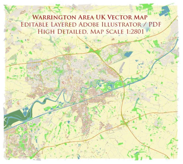
Warrington, located in Cheshire, England, has a rich history that spans centuries. The town’s urban development has been shaped by its strategic location along major transportation routes and its historical role in commerce and industry. Here’s an overview of key phases in the history of urban development in the Warrington area:
Medieval Period:
- Market Town Origins:
- Warrington’s history dates back to the Roman era, but it gained prominence as a market town in the medieval period. The market played a crucial role in the local economy.
- Strategic River Crossing:
- Warrington’s location along the River Mersey made it an important river crossing, contributing to its economic significance and the development of trade and transport.
Tudor and Stuart Periods:
- Warrington Academy (1757):
- In the 18th century, Warrington became known for its intellectual and cultural contributions with the establishment of Warrington Academy in 1757. The academy played a role in the development of non-conformist religious and educational ideas.
Industrial Revolution:
- Canal and Transportation:
- The advent of the Industrial Revolution brought changes to Warrington. The construction of the Bridgewater Canal in the 18th century improved transportation, connecting Warrington to Manchester and facilitating the transport of goods.
- Industrial Growth:
- Warrington experienced industrial growth, with industries such as manufacturing, textile production, and engineering contributing to its economic prosperity.
Victorian Era:
- Railway Development:
- The arrival of the railway in the 19th century further enhanced Warrington’s connectivity. The town became a railway hub, supporting the transportation of goods and people.
- Economic Diversification:
- Warrington saw economic diversification during the Victorian era, with the growth of services, retail, and the expansion of the town’s commercial center.
20th Century:
- World Wars and Post-War Development:
- Warrington played a role in both World War I and World II. The post-war period saw reconstruction and modernization, with new housing developments and infrastructure projects.
- New Town Development (1968):
- In 1968, Warrington was designated a New Town under the New Towns Act. This led to planned expansion, the development of new residential areas, and improved infrastructure.
Contemporary Warrington:
- Economic Hub:
- Warrington has evolved into an economic hub in the North West, with a focus on logistics, distribution, and the service sector. The town’s strategic location along major motorways contributes to its status as a commercial center.
- Urban Redevelopment:
- Urban redevelopment projects have transformed parts of Warrington, enhancing the town center with shopping centers, cultural venues, and public spaces.
- Cultural and Recreational Facilities:
- Warrington has invested in cultural and recreational facilities, including museums, theaters, and parks, enriching the quality of life for residents.
- Education and Healthcare:
- The town is home to educational institutions and healthcare facilities, providing essential services to the community.
- Residential Expansion:
- Residential expansion continues, with new housing developments catering to the growing population.
- Transportation Links:
- Warrington remains a crucial transportation hub with excellent road and rail links, supporting the movement of people and goods.
Warrington’s urban development reflects its historical roots as a market town, its adaptation to the changes brought about by the Industrial Revolution, and its continued growth as a modern economic and cultural center. The town’s strategic location and historical significance contribute to its ongoing development and prosperity.


 Author: Kirill Shrayber, Ph.D.