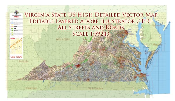
Virginia, one of the original thirteen colonies, has a diverse history of urban development that reflects its role in early American history, the Civil War, and its growth as a center for government, commerce, and technology. Here is an overview of key phases in the history of urban development in Virginia:
Colonial Era:
- Jamestown (1607):
- Jamestown, founded in 1607, was the first permanent English settlement in North America. It served as the capital of the Virginia Colony and played a crucial role in the early years of English colonization.
- Williamsburg (1699):
- Williamsburg became the capital of Virginia in 1699. The city is known for its well-preserved colonial architecture and served as a political and cultural center during the colonial period.
Revolutionary and Antebellum Periods:
- Richmond (1780):
- Richmond, the current capital of Virginia, became the state capital in 1780. During the American Revolution, it served as a center for the Virginia Convention and played a crucial role in shaping the newly formed United States.
- Plantation Economy:
- The plantation economy, based on tobacco cultivation, shaped the development of many rural areas. The presence of large plantations influenced the patterns of settlement and development in Virginia.
Civil War and Reconstruction:
- Civil War (1861-1865):
- Virginia was a significant battleground during the Civil War. Richmond, as the capital of the Confederate States of America, was a key target for Union forces. The war had a profound impact on the state’s cities and towns.
- Post-War Reconstruction:
- After the Civil War, Virginia underwent a period of Reconstruction. This era saw efforts to rebuild and reshape the state’s urban areas, including Richmond, which faced challenges and opportunities in the post-war period.
Industrialization and 20th Century:
- Norfolk as a Port City:
- Norfolk, with its natural harbor, became a major port city in the late 19th and early 20th centuries. The city’s economy thrived on maritime trade, shipbuilding, and the presence of the U.S. Navy.
- Expansion of Transportation:
- The expansion of railroads and the development of transportation infrastructure, including the Chesapeake Bay Bridge-Tunnel, connected various regions of the state and facilitated economic growth.
- Arlington and Northern Virginia:
- Arlington and other parts of Northern Virginia experienced urban development as suburbs of Washington, D.C. The growth of the federal government and the technology sector contributed to the development of this region.
Contemporary Era:
- Technology and Research:
- Virginia has become a hub for technology and research, particularly in the Northern Virginia and Hampton Roads areas. The presence of government agencies, defense contractors, and technology companies has driven economic development.
- Suburban Growth:
- Suburbanization has been a significant trend, with many residents moving to suburban areas around major cities like Richmond and Washington, D.C. This has led to the development of suburban communities and shopping districts.
- Challenges and Urban Renewal:
- Virginia faces challenges related to urbanization, transportation, and issues of economic inequality. Efforts in urban renewal and revitalization projects have sought to address these challenges.
- Historic Preservation:
- Virginia places a strong emphasis on historic preservation. Many cities, including Williamsburg, Alexandria, and Richmond, have historic districts with well-preserved buildings and landmarks.
Virginia’s history of urban development reflects the state’s deep historical roots, its role in pivotal moments in American history, and its dynamic evolution into a diverse and economically vibrant region. The state continues to grapple with the complexities of balancing urban growth, historic preservation, and contemporary challenges.


 Author: Kirill Shrayber, Ph.D.