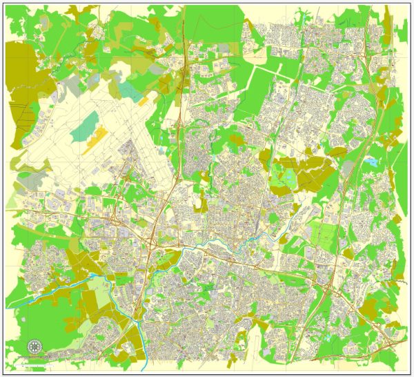
Vantaa, Finland, is a city located in the Greater Helsinki metropolitan area and has a history of urban development that reflects the broader historical and economic trends in the region. Here is an overview of key phases in Vantaa’s urban development:
- Early Settlements and Agricultural Roots:
- The Vantaa region has a long history of human habitation dating back to prehistoric times. Early settlements were primarily based on agriculture and the utilization of natural resources.
- Medieval Period and Ecclesiastical Influence:
- The construction of the Church of St. Lawrence in the 15th century is a notable landmark in Vantaa. The medieval church played a central role in the local community and reflected the ecclesiastical influence on the area.
- Industrialization in the 19th Century:
- The 19th century brought significant changes to Vantaa with the advent of industrialization. Mills, factories, and other industrial establishments began to emerge, contributing to economic growth and altering the local landscape.
- Transportation and Connectivity:
- The development of transportation infrastructure, including railways and roads, played a crucial role in connecting Vantaa to Helsinki and other neighboring areas. Improved connectivity facilitated the movement of goods and people.
- Post-WWII Urbanization and Growth:
- In the post-World War II era, Finland experienced urbanization and economic growth. Vantaa, being in close proximity to Helsinki, witnessed increased residential development as people moved to suburban areas.
- Helsinki-Vantaa Airport:
- The opening of Helsinki-Vantaa Airport in 1952 had a transformative impact on Vantaa. The airport became a major international gateway, contributing to the city’s economic development and making it a key transportation hub.
- Diversification of Economy and Technology Parks:
- In the latter half of the 20th century and into the 21st century, Vantaa experienced a diversification of its economy. Technology parks, industrial zones, and business districts were established, attracting companies in the technology and innovation sectors.
- Residential Expansion and Modern Urban Planning:
- Vantaa has seen extensive residential expansion and modern urban planning. New neighborhoods have been developed, and there has been a focus on creating sustainable and well-designed living spaces.
- Cultural and Recreational Developments:
- The city has invested in cultural and recreational amenities, including parks, museums, and cultural centers. Vantaa’s commitment to providing a high quality of life for residents is reflected in these developments.
- Challenges and Sustainability Initiatives:
- As with many growing cities, Vantaa faces challenges related to infrastructure, transportation, and environmental sustainability. The city has implemented initiatives to address these challenges and promote eco-friendly urban development.
Vantaa’s history of urban development showcases its evolution from an agricultural and industrial area to a modern city with a diverse economy and a focus on sustainability. Its strategic location near Helsinki and the presence of the international airport have played pivotal roles in shaping the city’s identity and contributing to its economic vitality.


 Author: Kirill Shrayber, Ph.D.