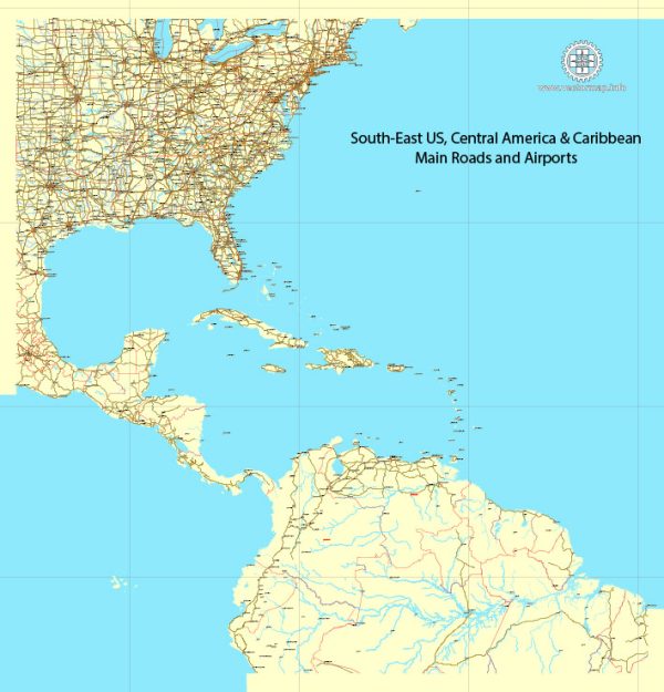
The urban development of the Southeastern United States is a complex and dynamic story that spans centuries. The region’s history is marked by a blend of Native American cultures, European colonization, plantation economies, Civil War, Reconstruction, and the Civil Rights Movement. Here is a brief overview of key historical developments in the urban development of the US Southeast:
- Indigenous Peoples:
- Prior to European contact, the Southeast was home to various Native American civilizations, including the Cherokee, Creek, Choctaw, and Chickasaw nations.
- Many of these societies had established complex agricultural systems and vibrant trade networks, with some constructing mound complexes as centers of their communities.
- European Colonization:
- Spanish explorers, such as Hernando de Soto, were among the first Europeans to explore the Southeast in the 16th century.
- The English, French, and Spanish established colonies in the region, leading to cultural exchanges and conflicts with Native American populations.
- Agricultural Economy and Plantations:
- The Southeast became a hub for plantation economies, particularly based on the cultivation of cash crops like tobacco, rice, and indigo.
- The use of enslaved labor played a crucial role in the development of large plantations, especially in states like South Carolina, Georgia, and parts of Florida.
- Antebellum Period and Civil War:
- The antebellum period saw the rise of cities such as Charleston, Savannah, and New Orleans as economic and cultural centers.
- The region played a significant role in the American Civil War, with battles and key events taking place in states like Virginia, Tennessee, and Georgia.
- Reconstruction Era:
- Following the Civil War, the Southeast faced the challenges of Reconstruction, as the federal government sought to rebuild the region and address issues related to racial equality and economic recovery.
- Industrialization and Urbanization:
- In the late 19th and early 20th centuries, the Southeast experienced industrialization, with cities like Atlanta emerging as transportation and manufacturing hubs.
- The development of textile mills and other industries contributed to the growth of urban centers.
- Civil Rights Movement:
- The Southeast played a pivotal role in the Civil Rights Movement of the 1950s and 1960s, with events such as the Montgomery Bus Boycott and the Selma to Montgomery marches shaping the struggle for racial equality.
- Modern Urban Development:
- In the latter half of the 20th century and into the 21st century, the Southeast has continued to experience population growth and urban development.
- Cities like Atlanta, Charlotte, and Nashville have become major economic and cultural hubs, attracting diverse populations and industries.
Throughout its history, the Southeastern United States has been shaped by a combination of cultural, economic, and social forces, making it a region with a rich and multifaceted urban development story.


 Author: Kirill Shrayber, Ph.D. FRGS