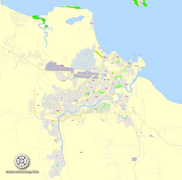
Townsville, located in Queensland, Australia, has a history of urban development that reflects its strategic location, economic activities, and response to various challenges. Here’s an overview of the key phases in the city’s urban evolution:
Indigenous History:
Before European settlement, the Townsville region was inhabited by the Bindal and Wulgurukaba Aboriginal peoples. Their presence and connection to the land date back thousands of years, with a rich cultural history tied to the natural environment.
European Settlement and Development:
Townsville was established in the mid-19th century. It initially served as a port for pastoral and mining activities in the hinterland. The discovery of gold in the 1860s in the nearby Charters Towers led to an economic boom, and Townsville became a vital service center and port for the mining industry.
Infrastructure Development:
The late 19th and early 20th centuries saw significant infrastructure development in Townsville. The construction of the Ross River Dam in the 1920s provided a reliable water supply, facilitating further growth. The port expanded, and railways connected the city to the interior, enhancing its role as a regional hub.
Military Importance:
During World War II, Townsville gained strategic importance for the Allied forces in the Pacific. The city became a major military base, and the infrastructure developed for the war effort left a lasting impact on the urban landscape.
Post-War Era:
After the war, Townsville continued to grow and diversify its economy. Industries such as manufacturing and services expanded, and the city became a key administrative and commercial center for North Queensland.
Economic Development:
The latter half of the 20th century saw Townsville’s economy diversify further. The city became known for education and research, with James Cook University established in the 1970s. The natural resources sector, including mining and agriculture, continued to contribute to the region’s economic development.
Urban Expansion:
As the population grew, Townsville experienced urban expansion. Residential and commercial developments expanded outward from the city center. Infrastructure projects, including the development of the Townsville Ring Road, aimed to improve connectivity and accessibility.
Contemporary Period:
In recent decades, Townsville has faced challenges, including periodic flooding and cyclones. The city has focused on urban planning and infrastructure resilience to address these issues. The Strand, a popular beachfront promenade, underwent redevelopment, enhancing the city’s recreational and tourism offerings.
Cultural and Recreational Development:
Townsville has invested in cultural and recreational facilities, such as the Museum of Tropical Queensland and the Riverway complex. These amenities contribute to the city’s quality of life and appeal as a destination for residents and visitors alike.
Townsville’s history of urban development reflects its evolution from a frontier town supporting mining and pastoral activities to a diversified regional center with a focus on education, research, and services. The city continues to balance growth with environmental considerations and resilience to natural challenges.


 Author: Kirill Shrayber, Ph.D.