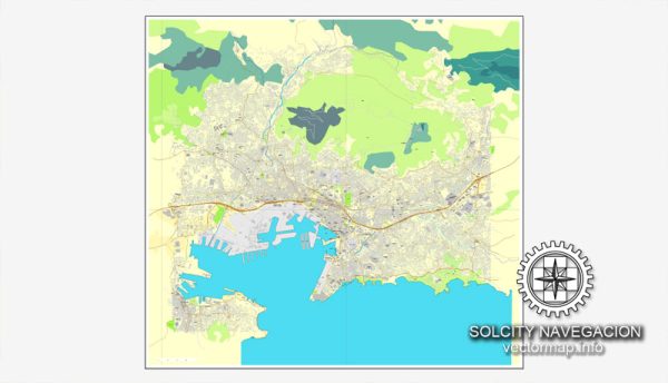
Here is an overview of the history of urban development in Toulon, France:
Early Settlement
- Originally settled circa the 6th century BC, Toulon began as a small trading port town called Telo Martius, inhabited by Ligures tribes.
Roman Occupation
- Toulon expanded considerably under Roman rule starting in the 2nd century BC due to its strategic and commercially-viable Mediterranean port location. Urban infrastructure like roads, aqueducts and temples were constructed.
Middle Ages
- After the fall of the Roman Empire, Toulon suffered a series of invasions from various groups over the next centuries. Urban expansion stalled significantly during the feudal era between the 10th-15th century AD.
French Naval Hub
- Under Louis XIV’s expansion of French naval power in the 17th century, Toulon’s harbor became a major French Navy port base. Toulon subsequently grew in shipbuilding industries and colonial trading activity for 150 years.
19th & 20th Centuries
- Toulon continued to develop into a military, commercial and administrative center. Major population growth and urbanization occurred as suburban districts emerged connected by transportation lines like tramways.
Post-WWII Era
- After rebuilding from substantial damage in WWII, Toulon has focused on economic diversification, high-tech industries and improving infrastructure and housing. Its metro region now has over 600,000 residents.
So in summary, Toulon’s strategic coastal position has made it an integral urban area in southern France since ancient times, especially as a military harbor and port city.


 Author: Kirill Shrayber, Ph.D. FRGS